|
search place name
|
||
Lost Creek (Texas, United States - USA)Lost Creek is a town in the Texas region of United States - USA. An overview map of the region around Lost Creek is displayed below.
regional and 3d topo map of Lost Creek, United States - USA ::

Lost Creek airports ::
The nearest airport is AUS - Austin Bergstrom Intl, located 20.2 km south east of Lost Creek.
Other airports nearby include GRK - Killeen Robert Gray Aaf (85.6 km north), HLR - Fort Hood Hood Aaf (94.3 km north), RND - San Antonio Randolph Afb (94.7 km south west), SAT - San Antonio Intl (103.8 km south west), Nearby towns ::
Barton Creek (2.6km south west) //
West Lake Hills (4.1km east) //
River Hills (4.9km north) //
Greenshores (5.6km north east) //
Rollingwood (5.5km east) //
Oak Hill (6.8km south) //
Williamson (8.0km south) //
Sunset Valley (8.7km south east) //
Vinson (10.5km south east) //
[all distances 'as the bird flies' and approximate] 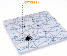 Places with similar names to Lost Creek, United States - USA ::
// Lost Creek (US)
// Lost Creek (US)
// Lost Creek (US)
// Lost Creek (US)
// Lost Creek (US)
// Lost Creek (US)
// Lost Creek (US)
Disclaimer :: Information on this page comes without warranty of any kind |
||
|
Where is Lost Creek? Elevation and coordinates ::
Latitude (lat): 30°17'43"N Longitude (lon): 97°50'39"W
Elevation (approx.): 246m (map arrows pan, magnifying glasses zoom) |
||
|
Visiting Lost Creek? Hotel/Accommodation ::
Book a hotel in Lost Creek Travel Guide ::
rental cars ::
car rental offers GPS waypoint ::
download a GPX waypoint (PoI) of Lost Creek for your GPS receiver
|
||