|
search place name
|
||
Mount Evergreen (Texas, United States - USA)Mount Evergreen is a town in the Texas region of United States - USA. An overview map of the region around Mount Evergreen is displayed below.
regional and 3d topo map of Mount Evergreen, United States - USA ::

Mount Evergreen airports ::
The nearest airport is BPT - Beaumont Southeast Texas Rgnl, located 26.8 km south east of Mount Evergreen.
Other airports nearby include LCH - Lake Charles Rgnl (91.7 km east), DRI - Deridder Beauregard Rgnl (110.0 km north east), IAH - George Bush Intcntl Houston (114.0 km west), GLS - Scholes Intl At Galveston (118.6 km south west), Nearby towns ::
Gilburg (1.0km south east) //
Rosedale Acres (1.1km west) //
Bor-ley Heights (1.8km north west) //
Rosedale (2.1km south east) //
Voth (3.7km north west) //
Helbig (4.0km south east) //
Loeb (5.1km north) //
Rose Hill Acres (5.5km north) //
Pine Crest (6.2km south east) //
Calder Highlands (6.8km south east) //
Calder Terrace (7.2km south) //
Elizabeth (8.5km south) //
Caldwood (8.5km south) //
Woodcrest Acres (8.5km north) //
Lakeview (9.9km north east) //
Beaumont (10.1km south east) //
[all distances 'as the bird flies' and approximate] 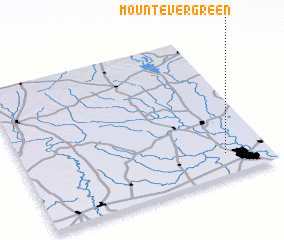 Places with similar names to Mount Evergreen, United States - USA :: Disclaimer :: Information on this page comes without warranty of any kind |
||
|
Where is Mount Evergreen? Elevation and coordinates ::
Latitude (lat): 30°9'6"N Longitude (lon): 94°10'29"W
Elevation (approx.): 12m (map arrows pan, magnifying glasses zoom) |
||
|
Visiting Mount Evergreen? Hotel/Accommodation ::
Book a hotel in Mount Evergreen Travel Guide ::
rental cars ::
car rental offers GPS waypoint ::
download a GPX waypoint (PoI) of Mount Evergreen for your GPS receiver
|
||