|
search place name
|
||
Post Oak (Texas, United States - USA)Post Oak is a town in the Texas region of United States - USA. An overview map of the region around Post Oak is displayed below.
regional and 3d topo map of Post Oak, United States - USA ::

Post Oak airports ::
The nearest airport is TYR - Tyler Pounds Rgnl, located 117.3 km south of Post Oak.
Other airports nearby include DAL - Dallas Love Fld (131.6 km south west), GGG - Longview East Texas Rgnl (140.0 km south east), DFW - Dallas-fort Worth Dallas Fort Worth Intl (145.0 km west), TXK - Texarkana Rgnl Webb Fld (150.0 km east), Nearby towns ::
Prattville (3.1km north east) //
Lake Creek (5.6km north) //
Enloe (6.4km north west) //
Charleston (6.6km east) //
Pacio (6.9km north east) //
Tira (8.4km south) //
Mount Joy (8.7km north) //
Sandhill (9.4km south east) //
Kennemer Crossing (9.1km north east) //
Slabtown (10.3km north east) //
[all distances 'as the bird flies' and approximate] 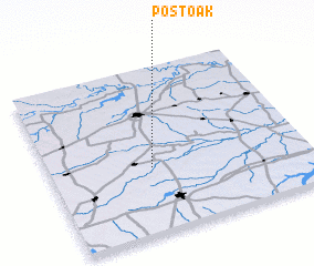 Places with similar names to Post Oak, United States - USA ::
Disclaimer :: Information on this page comes without warranty of any kind |
||
|
Where is Post Oak? Elevation and coordinates ::
Latitude (lat): 33°23'53"N Longitude (lon): 95°36'10"W
Elevation (approx.): 142m (map arrows pan, magnifying glasses zoom) |
||
|
Visiting Post Oak? Hotel/Accommodation ::
Book a hotel in Post Oak Travel Guide ::
rental cars ::
car rental offers GPS waypoint ::
download a GPX waypoint (PoI) of Post Oak for your GPS receiver
|
||