|
search place name
|
||
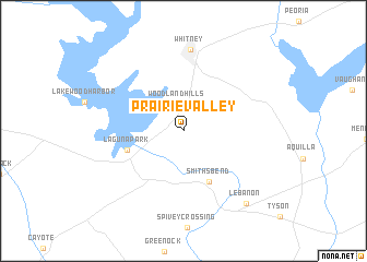
Prairie Valley (Texas, United States - USA)Prairie Valley is a town in the Texas region of United States - USA. An overview map of the region around Prairie Valley is displayed below.
regional and 3d topo map of Prairie Valley, United States - USA ::
Prairie Valley airports ::
The nearest airport is ACT - Waco Rgnl, located 30.9 km south of Prairie Valley.
Other airports nearby include HLR - Fort Hood Hood Aaf (89.7 km south west), GRK - Killeen Robert Gray Aaf (101.6 km south west), FTW - Fort Worth Meacham Intl (104.6 km north), DFW - Dallas-fort Worth Dallas Fort Worth Intl (116.3 km north), Nearby towns ::
Woodland Hills (2.8km north) //
Smiths Bend (5.7km south east) //
Laguna Park (5.2km west) //
Whitney (8.3km north) //
Lebanon (9.2km south east) //
[all distances 'as the bird flies' and approximate] 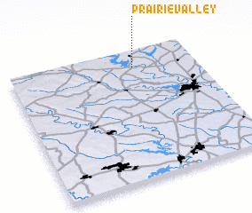 Places with similar names to Prairie Valley, United States - USA ::
// Prairieville (US)
// Prairieville (US)
// Prairieville (US)
// Prairieville (US)
// Prairieville (US)
// Prairie Valley (US)
// Prairieville (US)
Disclaimer :: Information on this page comes without warranty of any kind |
||
|
Where is Prairie Valley? Elevation and coordinates ::
Latitude (lat): 31°52'37"N Longitude (lon): 97°19'41"W
Elevation (approx.): 168m (map arrows pan, magnifying glasses zoom) |
||
|
Visiting Prairie Valley? Hotel/Accommodation ::
Book a hotel in Prairie Valley Travel Guide ::
rental cars ::
car rental offers GPS waypoint ::
download a GPX waypoint (PoI) of Prairie Valley for your GPS receiver
|
||