|
search place name
|
||
Scroggins (Texas, United States - USA)Scroggins is a town in the Texas region of United States - USA. An overview map of the region around Scroggins is displayed below.
regional and 3d topo map of Scroggins, United States - USA ::

Scroggins airports ::
The nearest airport is TYR - Tyler Pounds Rgnl, located 71.7 km south of Scroggins.
Other airports nearby include GGG - Longview East Texas Rgnl (79.0 km south east), TXK - Texarkana Rgnl Webb Fld (123.3 km north east), SHV - Shreveport Rgnl (140.2 km south east), BAD - Shreveport Barksdale Afb (151.9 km east), Nearby towns ::
Clearwater (3.3km north west) //
Newsome (4.3km east) //
Musgrove (4.5km south west) //
New Hope (5.2km north) //
Pineview (7.7km south) //
Rock Springs (6.6km west) //
Westbrook (7.8km south west) //
Piney Grove (10.9km south east) //
[all distances 'as the bird flies' and approximate] 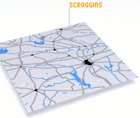 Places with similar names to Scroggins, United States - USA ::
// Schreckensee (DE)
Disclaimer :: Information on this page comes without warranty of any kind |
||
|
Where is Scroggins? Elevation and coordinates ::
Latitude (lat): 32°58'25"N Longitude (lon): 95°11'4"W
Elevation (approx.): 115m (map arrows pan, magnifying glasses zoom) |
||
|
Visiting Scroggins? Hotel/Accommodation ::
Book a hotel in Scroggins Travel Guide ::
rental cars ::
car rental offers GPS waypoint ::
download a GPX waypoint (PoI) of Scroggins for your GPS receiver
|
||