|
search place name
|
||
Tacubaya (Texas, United States - USA)Tacubaya is a town in the Texas region of United States - USA. An overview map of the region around Tacubaya is displayed below.
regional and 3d topo map of Tacubaya, United States - USA ::

Tacubaya airports ::
The nearest airport is NQI - Kingsville Nas, located 79.7 km north east of Tacubaya.
Other airports nearby include MFE - Mcallen Mc Allen Miller Intl (82.5 km south), ALI - Alice Intl (94.2 km north), HRL - Harlingen Valley Intl (98.4 km south east), REX - Reynosa General Lucio Blanco Intl (101.0 km south), Nearby towns ::
[all distances 'as the bird flies' and approximate] 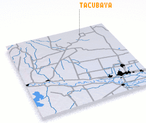 Places with similar names to Tacubaya, United States - USA ::
Disclaimer :: Information on this page comes without warranty of any kind |
||
|
Where is Tacubaya? Elevation and coordinates ::
Latitude (lat): 26°55'11"N Longitude (lon): 98°16'27"W
Elevation (approx.): 87m (map arrows pan, magnifying glasses zoom) |
||
|
Visiting Tacubaya? Hotel/Accommodation ::
Book a hotel in Tacubaya Travel Guide ::
rental cars ::
car rental offers GPS waypoint ::
download a GPX waypoint (PoI) of Tacubaya for your GPS receiver
|
||