|
search place name
|
||
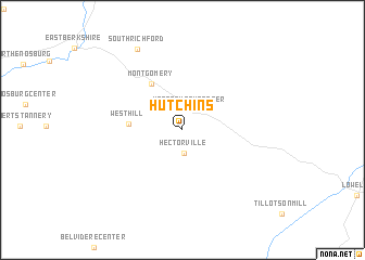
Hutchins (Vermont, United States - USA)Hutchins is a town in the Vermont region of United States - USA. An overview map of the region around Hutchins is displayed below.
regional and 3d topo map of Hutchins, United States - USA ::
Hutchins airports ::
The nearest airport is BTV - Burlington Intl, located 60.9 km south west of Hutchins.
Other airports nearby include YJN - St. Jean St Jean (71.6 km north west), YSC - Sherbrooke (96.8 km north east), YHU - Montreal St Hubert (96.8 km north west), YUL - Montreal Pierre Elliott Trudeau Intl (111.9 km north west), Nearby towns ::
Montgomery Center (2.2km north) //
Hectorville (2.3km south) //
West Hill (4.0km west) //
Montgomery (5.3km north west) //
South Richford (8.9km north) //
[all distances 'as the bird flies' and approximate] 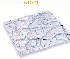 Places with similar names to Hutchins, United States - USA ::
Disclaimer :: Information on this page comes without warranty of any kind |
||
|
Where is Hutchins? Elevation and coordinates ::
Latitude (lat): 44°51'34"N Longitude (lon): 72°36'37"W
Elevation (approx.): 192m (map arrows pan, magnifying glasses zoom) |
||
|
Visiting Hutchins? Hotel/Accommodation ::
Book a hotel in Hutchins Travel Guide ::
rental cars ::
car rental offers GPS waypoint ::
download a GPX waypoint (PoI) of Hutchins for your GPS receiver
|
||