|
search place name
|
||
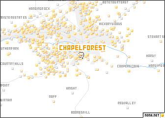
Chapel Forest (Virginia, United States - USA)Chapel Forest is a town in the Virginia region of United States - USA. An overview map of the region around Chapel Forest is displayed below.
regional and 3d topo map of Chapel Forest, United States - USA ::
Chapel Forest airports ::
The nearest airport is INT - Winston-salem Smith Reynolds, located 124.6 km south of Chapel Forest.
Other airports nearby include RDU - Raleigh-durham Raleigh Durham Intl (183.3 km south east), EKN - Elkins Randolph Co Jennings Randolph (183.8 km north), HKY - Hickory Rgnl (209.9 km south west), GSB - Goldsboro Seymour Johnson Afb (276.2 km south east), Nearby towns ::
Chestnut Hills (0.3km west) //
Peakwood Hills (0.7km west) //
Clermont Heights (0.8km north east) //
Prospect Hills (1.0km north west) //
Crystal Spring (1.1km north) //
Englewood (0.9km east) //
Wildwood (1.1km north west) //
Yellowstone (1.0km east) //
Sherwood Forest (1.2km north east) //
Edgehill Estates (1.1km west) //
Prospect Valley (1.2km west) //
Southern Hills (1.3km south west) //
Woodcliff (1.5km north east) //
Beechwood Gardens (1.5km north west) //
Edgehill (1.3km west) //
Colonial Heights (2.1km north) //
Gaymont (2.2km north west) //
Pinkard Court (2.1km south west) //
Jefferson Hills (2.0km west) //
Bluefield Heights (2.3km north west) //
Oak Hill (2.4km north west) //
Janette Land (2.7km north) //
Mill Mountain Estates (2.2km east) //
Stratford Court (2.7km north) //
Garden City (2.2km east) //
Jefferson Park (2.2km west) //
Pleasant Valley (2.7km north) //
Hunting Hills (2.7km south west) //
Bellview Terrace (2.7km north east) //
[all distances 'as the bird flies' and approximate]  Places with similar names to Chapel Forest, United States - USA :: Disclaimer :: Information on this page comes without warranty of any kind |
||
|
Where is Chapel Forest? Elevation and coordinates ::
Latitude (lat): 37°14'7"N Longitude (lon): 79°57'12"W
Elevation (approx.): 446m (map arrows pan, magnifying glasses zoom) |
||
|
Visiting Chapel Forest? Hotel/Accommodation ::
Book a hotel in Chapel Forest Travel Guide ::
rental cars ::
car rental offers GPS waypoint ::
download a GPX waypoint (PoI) of Chapel Forest for your GPS receiver
|
||