|
search place name
|
||
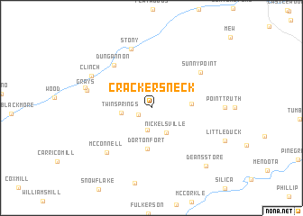
Crackers Neck (Virginia, United States - USA)Crackers Neck is a town in the Virginia region of United States - USA. An overview map of the region around Crackers Neck is displayed below.
regional and 3d topo map of Crackers Neck, United States - USA ::
Crackers Neck airports ::
The nearest airport is HKY - Hickory Rgnl, located 148.5 km south east of Crackers Neck.
Other airports nearby include TYS - Knoxville Mc Ghee Tyson (176.9 km south west), CLT - Charlotte Douglas Intl (219.6 km south east), Nearby towns ::
Stringtown (1.5km south west) //
Bush Mill (2.8km south) //
Nickelsville (3.4km south east) //
Twin Springs (3.1km west) //
Grigbys Store (4.0km east) //
Dorton Fort (5.1km south) //
Dungannon (6.5km north west) //
Sunny Point (6.6km north east) //
McConnell (7.0km south west) //
Stony (7.6km north) //
Grays (6.7km west) //
Clinch (7.2km north west) //
Grays Ford (7.1km west) //
Deans Store (9.0km south east) //
[all distances 'as the bird flies' and approximate] 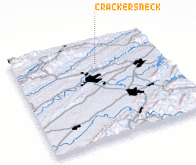 Places with similar names to Crackers Neck, United States - USA ::
Disclaimer :: Information on this page comes without warranty of any kind |
||
|
Where is Crackers Neck? Elevation and coordinates ::
Latitude (lat): 36°46'50"N Longitude (lon): 82°25'51"W
Elevation (approx.): 625m (map arrows pan, magnifying glasses zoom) |
||
|
Visiting Crackers Neck? Hotel/Accommodation ::
Book a hotel in Crackers Neck Travel Guide ::
rental cars ::
car rental offers GPS waypoint ::
download a GPX waypoint (PoI) of Crackers Neck for your GPS receiver
|
||