|
search place name
|
||
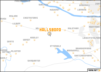
Hallsboro (Virginia, United States - USA)Hallsboro is a town in the Virginia region of United States - USA. An overview map of the region around Hallsboro is displayed below.
regional and 3d topo map of Hallsboro, United States - USA ::
Hallsboro airports ::
The nearest airport is RIC - Richmond Intl, located 35.9 km east of Hallsboro.
Other airports nearby include PHF - Newport News Williamsburg Intl (116.2 km east), LFI - Hampton Langley Afb (129.1 km east), NGU - Norfolk Ns (141.4 km south east), NHK - Patuxent River Nas (145.6 km north east), Nearby towns ::
Holly Hills (3.3km north west) //
Otterdale (4.8km south) //
Buckingham (4.8km north east) //
Moseley (5.0km west) //
Huguenot Springs (8.1km north) //
Midlothian (7.0km east) //
Huguenot (8.9km north) //
Dorset (7.4km west) //
Chestnut Oaks (8.3km north west) //
Brandermill (9.2km south east) //
[all distances 'as the bird flies' and approximate] 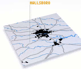 Places with similar names to Hallsboro, United States - USA ::
Disclaimer :: Information on this page comes without warranty of any kind |
||
|
Where is Hallsboro? Elevation and coordinates ::
Latitude (lat): 37°29'18"N Longitude (lon): 77°43'32"W
Elevation (approx.): 83m (map arrows pan, magnifying glasses zoom) |
||
|
Visiting Hallsboro? Hotel/Accommodation ::
Book a hotel in Hallsboro Travel Guide ::
rental cars ::
car rental offers GPS waypoint ::
download a GPX waypoint (PoI) of Hallsboro for your GPS receiver
|
||