|
search place name
|
||
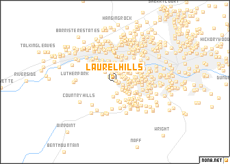
Laurel Hills (Virginia, United States - USA)Laurel Hills is a town in the Virginia region of United States - USA. An overview map of the region around Laurel Hills is displayed below.
regional and 3d topo map of Laurel Hills, United States - USA ::
Laurel Hills airports ::
The nearest airport is INT - Winston-salem Smith Reynolds, located 124.3 km south of Laurel Hills.
Other airports nearby include EKN - Elkins Randolph Co Jennings Randolph (183.3 km north), RDU - Raleigh-durham Raleigh Durham Intl (188.9 km south east), HKY - Hickory Rgnl (205.8 km south west), Nearby towns ::
Sugar Loaf Highlands (0.2km north east) //
Hidden Valley Court (0.3km north east) //
Hidden Valley (0.4km east) //
Hidden Valley Homes (0.5km east) //
Hickory Hill (0.8km north) //
Fairway Forest (1.1km north west) //
Oak Grove Farms (1.2km north east) //
Sugar Loaf Estates (1.2km south east) //
Wedgewood Forest (1.4km north) //
Farmingdale (1.5km north) //
Hidden Valley Estates (1.3km north east) //
Castle Rock (1.4km south east) //
Castle Rock West (1.6km south east) //
Sunset Hills (1.5km north east) //
Hidden Acres (1.8km north) //
Southdowns (1.7km north east) //
Westchester Court (1.6km north east) //
Sugar Loaf Hills (1.9km south) //
Sugar Loaf Farms (1.8km south east) //
The Pines (1.7km east) //
Airview Court (1.8km east) //
Medmont Lake (2.0km north east) //
Castle Rock Farms (2.0km south east) //
Country Club Estates (2.0km north west) //
City View Heights (1.8km east) //
Maylin Hills (2.3km north) //
Ridgewood Farm (2.3km north) //
Waltdon Farms (2.4km south) //
Orander Park (2.1km south east) //
[all distances 'as the bird flies' and approximate]  Places with similar names to Laurel Hills, United States - USA ::
// Laurel Hills (US)
// Laurel Hills (US)
// Laurel Hills (US)
// Laurel Hills (US)
// Laurel Hills (US)
// Laurel Hills (US)
Disclaimer :: Information on this page comes without warranty of any kind |
||
|
Where is Laurel Hills? Elevation and coordinates ::
Latitude (lat): 37°14'40"N Longitude (lon): 80°2'42"W
Elevation (approx.): 378m (map arrows pan, magnifying glasses zoom) |
||
|
Visiting Laurel Hills? Hotel/Accommodation ::
Book a hotel in Laurel Hills Travel Guide ::
rental cars ::
car rental offers GPS waypoint ::
download a GPX waypoint (PoI) of Laurel Hills for your GPS receiver
|
||