|
search place name
|
||
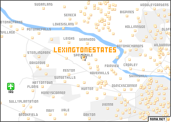
Lexington Estates (Virginia, United States - USA)Lexington Estates is a town in the Virginia region of United States - USA. An overview map of the region around Lexington Estates is displayed below.
regional and 3d topo map of Lexington Estates, United States - USA ::
Lexington Estates airports ::
The nearest airport is IAD - Washington Dulles Intl, located 13.9 km south west of Lexington Estates.
Other airports nearby include DCA - Ronald Reagan Washington Natl (28.4 km south east), ADW - Camp Springs Andrews Afb (Washington Dc Naf) (43.5 km south east), BWI - Baltimore Washington Intl (58.9 km east), NHK - Patuxent River Nas (110.9 km south east), Nearby towns ::
Springvale (0.6km north west) //
Hickory Creek (0.8km south east) //
Old Mill Estates (1.7km south east) //
Great Falls (1.8km east) //
Hickory Run (2.4km south east) //
Mill Run Acres (2.8km south east) //
Deanwood (3.8km north) //
Dranesville (3.3km west) //
Reston (4.1km south west) //
Haver Hills (4.3km south east) //
Crowells Corner (4.8km south) //
Leighs (5.0km north west) //
Spring Ridge (5.2km south east) //
Browns Mill (5.4km south east) //
Pinecrest (5.6km south) //
A Country Place (5.3km south east) //
Fairview (4.8km south east) //
Beau Ridge (5.7km south east) //
Kenmore (5.7km south east) //
Sunset Hills (5.7km south west) //
Cinnamon Creek (6.3km south east) //
Peacock (5.4km south east) //
Sun Valley (6.5km south) //
Wolf Trap (6.5km south) //
Towlston Meadow (6.1km south east) //
Shouse Village (6.3km south east) //
Hunter (7.0km south) //
Great Falls (5.5km east) //
Glendale (5.9km south east) //
[all distances 'as the bird flies' and approximate] 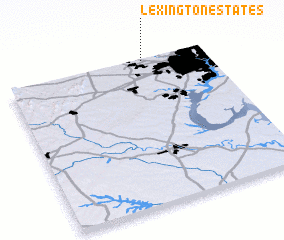 Places with similar names to Lexington Estates, United States - USA ::
Disclaimer :: Information on this page comes without warranty of any kind |
||
|
Where is Lexington Estates? Elevation and coordinates ::
Latitude (lat): 38°59'43"N Longitude (lon): 77°18'32"W
Elevation (approx.): 110m (map arrows pan, magnifying glasses zoom) |
||
|
Visiting Lexington Estates? Hotel/Accommodation ::
Book a hotel in Lexington Estates Travel Guide ::
rental cars ::
car rental offers GPS waypoint ::
download a GPX waypoint (PoI) of Lexington Estates for your GPS receiver
|
||