|
search place name
|
||
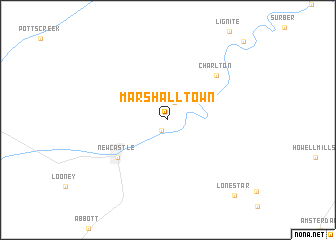
Marshalltown (Virginia, United States - USA)Marshalltown is a town in the Virginia region of United States - USA. An overview map of the region around Marshalltown is displayed below.
regional and 3d topo map of Marshalltown, United States - USA ::
Marshalltown airports ::
The nearest airport is EKN - Elkins Randolph Co Jennings Randolph, located 151.1 km north of Marshalltown.
Other airports nearby include INT - Winston-salem Smith Reynolds (156.5 km south), RDU - Raleigh-durham Raleigh Durham Intl (216.5 km south east), HKY - Hickory Rgnl (232.2 km south west), Nearby towns ::
Virginia Mineral Springs (1.3km south west) //
Barbours Creek (2.0km north) //
New Castle (6.2km south west) //
Charlton (6.6km north east) //
Lone Star (10.3km south east) //
Oriskany (11.0km north east) //
[all distances 'as the bird flies' and approximate] 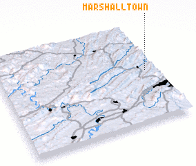 Places with similar names to Marshalltown, United States - USA ::
// Marshallton (US)
// Marshalltown (ZA)
// Marshalltown (US)
// Marshallton (US)
// Marshallton (US)
// Marshalltown (US)
// Marshalltown (AU)
Disclaimer :: Information on this page comes without warranty of any kind |
||
|
Where is Marshalltown? Elevation and coordinates ::
Latitude (lat): 37°32'17"N Longitude (lon): 80°3'36"W
Elevation (approx.): 388m (map arrows pan, magnifying glasses zoom) |
||
|
Visiting Marshalltown? Hotel/Accommodation ::
Book a hotel in Marshalltown Travel Guide ::
rental cars ::
car rental offers GPS waypoint ::
download a GPX waypoint (PoI) of Marshalltown for your GPS receiver
|
||