|
search place name
|
||
Montvale (Virginia, United States - USA)Montvale is a town in the Virginia region of United States - USA. An overview map of the region around Montvale is displayed below.
regional and 3d topo map of Montvale, United States - USA ::

Montvale airports ::
The nearest airport is INT - Winston-salem Smith Reynolds, located 145.5 km south of Montvale.
Other airports nearby include EKN - Elkins Randolph Co Jennings Randolph (167.4 km north), RDU - Raleigh-durham Raleigh Durham Intl (187.3 km south east), HKY - Hickory Rgnl (235.1 km south west), Nearby towns ::
Villamont (4.2km west) //
Shady Grove (7.3km south) //
Irving (6.1km south east) //
Blue Ridge (6.7km west) //
Spec (8.6km north west) //
Union (8.5km south east) //
[all distances 'as the bird flies' and approximate] 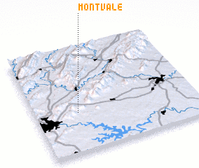 Places with similar names to Montvale, United States - USA ::
// Montevallo (US)
// Moundville (US)
// Mandeville (US)
// Mandeville (US)
// Montivilla (US)
// Mandeville (US)
// Mountville (US)
// Mound Valley (US)
// Mound Valley (US)
// Montevil (PT)
Disclaimer :: Information on this page comes without warranty of any kind |
||
|
Where is Montvale? Elevation and coordinates ::
Latitude (lat): 37°23'4"N Longitude (lon): 79°43'53"W
Elevation (approx.): 294m (map arrows pan, magnifying glasses zoom) |
||
|
Visiting Montvale? Hotel/Accommodation ::
Book a hotel in Montvale Travel Guide ::
rental cars ::
car rental offers GPS waypoint ::
download a GPX waypoint (PoI) of Montvale for your GPS receiver
|
||