|
search place name
|
||
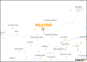
Poletown (Virginia, United States - USA)Poletown is a town in the Virginia region of United States - USA. An overview map of the region around Poletown is displayed below.
regional and 3d topo map of Poletown, United States - USA ::
Poletown airports ::
The nearest airport is INT - Winston-salem Smith Reynolds, located 111.2 km south east of Poletown.
Other airports nearby include HKY - Hickory Rgnl (142.2 km south), CLT - Charlotte Douglas Intl (194.2 km south), EKN - Elkins Randolph Co Jennings Randolph (233.2 km north east), POB - Fayetteville Pope Afb (262.6 km south east), Nearby towns ::
Locust Hill (0.6km south) //
Conners (1.5km north east) //
Fort Chiswell (2.9km south west) //
Max Meadows (3.0km west) //
Grahams Forge (3.9km south east) //
Farmers Store (4.4km south west) //
Clarkes Summit (4.3km north east) //
Laswell (7.8km south) //
Siloam (7.4km south west) //
Red Hill (7.8km south east) //
Buddle (7.9km south east) //
Coleman Store (10.9km south west) //
[all distances 'as the bird flies' and approximate] 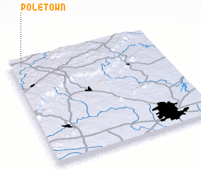 Places with similar names to Poletown, United States - USA ::
Disclaimer :: Information on this page comes without warranty of any kind |
||
|
Where is Poletown? Elevation and coordinates ::
Latitude (lat): 36°57'50"N Longitude (lon): 80°55'1"W
Elevation (approx.): 659m (map arrows pan, magnifying glasses zoom) |
||
|
Visiting Poletown? Hotel/Accommodation ::
Book a hotel in Poletown Travel Guide ::
rental cars ::
car rental offers GPS waypoint ::
download a GPX waypoint (PoI) of Poletown for your GPS receiver
|
||