|
search place name
|
||
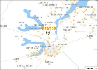
Red Top (Virginia, United States - USA)Red Top is a town in the Virginia region of United States - USA. An overview map of the region around Red Top is displayed below.
regional and 3d topo map of Red Top, United States - USA ::
Red Top airports ::
The nearest airport is NGU - Norfolk Ns, located 31.5 km north east of Red Top.
Other airports nearby include ORF - Norfolk Intl (36.5 km east), LFI - Hampton Langley Afb (38.7 km north east), PHF - Newport News Williamsburg Intl (39.3 km north), NTU - Oceana Nas (49.6 km east), Nearby towns ::
Berkshire Meadows (1.1km south) //
Kings Crossing (2.0km north west) //
Sadler Heights (2.4km south) //
Indian Point Estates (2.1km west) //
Palmyra (2.9km south) //
Elephant Fork (3.0km south) //
North Gate (3.4km south) //
Kings Point (2.9km south west) //
Thompson Landing (3.0km south east) //
Kingsdale (3.9km north) //
Willowbrook (4.0km south) //
Kings Fork (3.4km west) //
Princeview Point (3.5km west) //
Nansemond Gardens (4.2km south) //
Russell Point (3.9km north west) //
Providence Church (4.1km west) //
Lake Meade Point (4.7km south west) //
Soroco (4.8km south east) //
Riverview (5.2km south) //
Wilroy Acres (4.9km south east) //
Eastover (5.3km south) //
Azalea Acres (5.6km south) //
Suffolk Trailer Park (5.5km south) //
Westhaven Lakes (5.6km south) //
Forest Hills (5.7km south) //
Boston (5.8km south) //
Cedar Lake Shores (4.8km east) //
Wilroy (4.8km east) //
Boston Park (5.9km south) //
[all distances 'as the bird flies' and approximate] 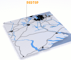 Places with similar names to Red Top, United States - USA ::
Disclaimer :: Information on this page comes without warranty of any kind |
||
|
Where is Red Top? Elevation and coordinates ::
Latitude (lat): 36°47'10"N Longitude (lon): 76°35'16"W
Elevation (approx.): 19m (map arrows pan, magnifying glasses zoom) |
||
|
Visiting Red Top? Hotel/Accommodation ::
Book a hotel in Red Top Travel Guide ::
rental cars ::
car rental offers GPS waypoint ::
download a GPX waypoint (PoI) of Red Top for your GPS receiver
|
||