|
search place name
|
||
Roses Mill (Virginia, United States - USA)Roses Mill is a town in the Virginia region of United States - USA. An overview map of the region around Roses Mill is displayed below.
regional and 3d topo map of Roses Mill, United States - USA ::

Roses Mill airports ::
The nearest airport is RIC - Richmond Intl, located 149.7 km east of Roses Mill.
Other airports nearby include EKN - Elkins Randolph Co Jennings Randolph (151.8 km north west), IAD - Washington Dulles Intl (192.9 km north east), RDU - Raleigh-durham Raleigh Durham Intl (203.2 km south), INT - Winston-salem Smith Reynolds (205.4 km south west), Nearby towns ::
Piney River (2.4km west) //
Shady Lane (2.7km north west) //
Hendersons Store (4.6km north) //
Roseland (5.4km north) //
Kingswood (4.7km east) //
Lanes Ford (5.8km north) //
Clifford (6.8km south) //
Colleen (5.8km east) //
Tye River (6.9km south east) //
Lowesville (6.3km west) //
New Glasgow (8.2km south) //
Massies Mill (8.4km north) //
Poplar Flats (8.1km north east) //
Freshwater (8.2km north east) //
Woodson (8.4km north west) //
[all distances 'as the bird flies' and approximate] 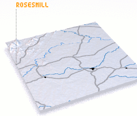 Places with similar names to Roses Mill, United States - USA ::
// Reeses Mill (US)
Disclaimer :: Information on this page comes without warranty of any kind |
||
|
Where is Roses Mill? Elevation and coordinates ::
Latitude (lat): 37°42'5"N Longitude (lon): 78°59'48"W
Elevation (approx.): 184m (map arrows pan, magnifying glasses zoom) |
||
|
Visiting Roses Mill? Hotel/Accommodation ::
Book a hotel in Roses Mill Travel Guide ::
rental cars ::
car rental offers GPS waypoint ::
download a GPX waypoint (PoI) of Roses Mill for your GPS receiver
|
||