|
search place name
|
||
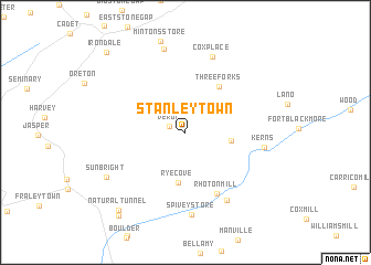
Stanleytown (Virginia, United States - USA)Stanleytown is a town in the Virginia region of United States - USA. An overview map of the region around Stanleytown is displayed below.
regional and 3d topo map of Stanleytown, United States - USA ::
Stanleytown airports ::
The nearest airport is TYS - Knoxville Mc Ghee Tyson, located 158.4 km south west of Stanleytown.
Other airports nearby include HKY - Hickory Rgnl (163.4 km south east), CLT - Charlotte Douglas Intl (233.7 km south east), Nearby towns ::
Verdi (1.4km north west) //
Duncan Mill (3.8km east) //
Rye Cove (5.1km south) //
Three Forks (5.4km north east) //
Rhoton Mill (6.7km south east) //
Kerns (6.5km east) //
Craft Mill (7.7km south east) //
Cox Place (7.9km north) //
Spivey Store (8.3km south) //
Cracker Neck (8.6km north) //
Sunbright (7.9km south west) //
Natural Tunnel (9.6km south west) //
Glenita (10.0km south west) //
Irondale (10.3km north west) //
[all distances 'as the bird flies' and approximate] 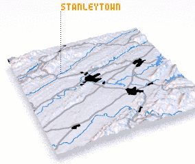 Places with similar names to Stanleytown, United States - USA ::
Disclaimer :: Information on this page comes without warranty of any kind |
||
|
Where is Stanleytown? Elevation and coordinates ::
Latitude (lat): 36°46'15"N Longitude (lon): 82°41'22"W
Elevation (approx.): 461m (map arrows pan, magnifying glasses zoom) |
||
|
Visiting Stanleytown? Hotel/Accommodation ::
Book a hotel in Stanleytown Travel Guide ::
rental cars ::
car rental offers GPS waypoint ::
download a GPX waypoint (PoI) of Stanleytown for your GPS receiver
|
||