|
search place name
|
||
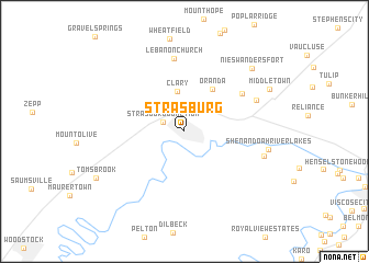
Strasburg (Virginia, United States - USA)Strasburg is a town in the Virginia region of United States - USA. An overview map of the region around Strasburg is displayed below.
regional and 3d topo map of Strasburg, United States - USA ::
Strasburg airports ::
The nearest airport is IAD - Washington Dulles Intl, located 78.4 km east of Strasburg.
Other airports nearby include DCA - Ronald Reagan Washington Natl (115.6 km east), EKN - Elkins Randolph Co Jennings Randolph (130.4 km west), ADW - Camp Springs Andrews Afb (Washington Dc Naf) (130.9 km east), AOO - Altoona Blair Co (145.2 km north), Nearby towns ::
Strasburg Junction (1.9km north west) //
Clary (4.1km north) //
Oranda (4.8km north east) //
Meadow Mills (6.0km north east) //
Lebanon Church (7.4km north) //
Cedar Creek Battlefield (6.5km north east) //
Waterlick (6.8km east) //
Shenandoah River Lakes (6.9km east) //
Nieswanders Fort (8.4km north east) //
Middletown (8.0km north east) //
[all distances 'as the bird flies' and approximate] 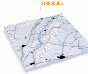 Places with similar names to Strasburg, United States - USA ::
// Strassberg (CH)
// Straßburg (AT)
// Straussberg (AT)
// Strasburg (US)
// Strasburg (US)
// Seidersberg (DE)
// Strasburg (DE)
// Straßberg (DE)
// Straßberg (DE)
// Straßberg (DE)
Disclaimer :: Information on this page comes without warranty of any kind |
||
|
Where is Strasburg? Elevation and coordinates ::
Latitude (lat): 38°59'19"N Longitude (lon): 78°21'32"W
Elevation (approx.): 174m (map arrows pan, magnifying glasses zoom) |
||
|
Visiting Strasburg? Hotel/Accommodation ::
Book a hotel in Strasburg Travel Guide ::
rental cars ::
car rental offers GPS waypoint ::
download a GPX waypoint (PoI) of Strasburg for your GPS receiver
|
||