|
search place name
|
||
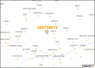
West Dante (Virginia, United States - USA)West Dante is a town in the Virginia region of United States - USA. An overview map of the region around West Dante is displayed below.
regional and 3d topo map of West Dante, United States - USA ::
West Dante airports ::
The nearest airport is HKY - Hickory Rgnl, located 160.8 km south east of West Dante.
Other airports nearby include TYS - Knoxville Mc Ghee Tyson (198.2 km south west), CLT - Charlotte Douglas Intl (231.9 km south east), Nearby towns ::
Dante (2.1km east) //
John (2.7km south east) //
Trammel (4.7km north east) //
Sun (5.2km south east) //
Wakenva (7.0km north) //
Virginia City (7.0km south) //
Rural (6.8km south west) //
Hamlin (6.8km south east) //
Morefield (7.5km south) //
Hazel (6.2km east) //
Open Fork (7.8km north) //
Saint Paul (8.2km south) //
Boody (8.4km south) //
Dwina (8.9km south west) //
Dorado (9.1km south east) //
Flat Top (8.7km north west) //
Dry Fork (9.7km south west) //
Leck (9.6km north west) //
Smith Corners (10.5km north west) //
[all distances 'as the bird flies' and approximate] 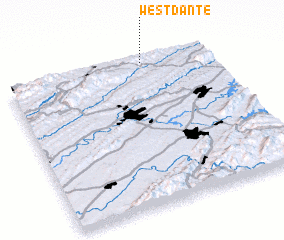 Places with similar names to West Dante, United States - USA ::
// West Dundee (US)
Disclaimer :: Information on this page comes without warranty of any kind |
||
|
Where is West Dante? Elevation and coordinates ::
Latitude (lat): 36°58'44"N Longitude (lon): 82°19'18"W
Elevation (approx.): 580m (map arrows pan, magnifying glasses zoom) |
||
|
Visiting West Dante? Hotel/Accommodation ::
Book a hotel in West Dante Travel Guide ::
rental cars ::
car rental offers GPS waypoint ::
download a GPX waypoint (PoI) of West Dante for your GPS receiver
|
||