|
search place name
|
||
Ziontown (Virginia, United States - USA)Ziontown is a town in the Virginia region of United States - USA. An overview map of the region around Ziontown is displayed below.
regional and 3d topo map of Ziontown, United States - USA ::

Ziontown airports ::
The nearest airport is RIC - Richmond Intl, located 23.2 km south east of Ziontown.
Other airports nearby include PHF - Newport News Williamsburg Intl (107.3 km south east), LFI - Hampton Langley Afb (120.2 km south east), NHK - Patuxent River Nas (127.3 km north east), NGU - Norfolk Ns (133.9 km south east), Nearby towns ::
Tuckahoe (0.5km north east) //
Glenbrook Hills (0.9km south) //
Roslyn Hills (1.4km south) //
River Road Hills (1.5km south east) //
Westham (1.8km east) //
Quioccasin (2.7km north west) //
Wedgewood (3.3km north) //
Bosher (3.2km south west) //
Mooreland Farms (3.1km south west) //
Nottingham (3.8km south) //
Westbriar (3.9km north) //
Crestview (3.3km north east) //
Dorset Woods (3.4km west) //
English Hills (4.5km north) //
Mooreland (3.9km south west) //
Rio Vista (4.0km south east) //
Sweet Briar Park (4.4km north east) //
Stratford Hills (4.6km south east) //
Canterbury (4.0km north west) //
Westhampton (4.1km east) //
Holiday Hills (5.1km south) //
Oxford (5.5km south) //
Drouin Hill (4.5km west) //
Wayland (5.6km south) //
Gayton (5.1km north west) //
Westchester (6.1km south) //
Grand Summit (6.3km south) //
Sheffield Court (6.3km south) //
Staffordshire (6.3km south) //
[all distances 'as the bird flies' and approximate] 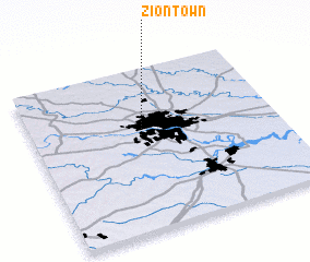 Places with similar names to Ziontown, United States - USA ::
Disclaimer :: Information on this page comes without warranty of any kind |
||
|
Where is Ziontown? Elevation and coordinates ::
Latitude (lat): 37°35'16"N Longitude (lon): 77°33'40"W
Elevation (approx.): 97m (map arrows pan, magnifying glasses zoom) |
||
|
Visiting Ziontown? Hotel/Accommodation ::
Book a hotel in Ziontown Travel Guide ::
rental cars ::
car rental offers GPS waypoint ::
download a GPX waypoint (PoI) of Ziontown for your GPS receiver
|
||