|
search place name
|
||
Besoco (West Virginia, United States - USA)Besoco is a town in the West Virginia region of United States - USA. An overview map of the region around Besoco is displayed below.
regional and 3d topo map of Besoco, United States - USA ::

Besoco airports ::
The nearest airport is EKN - Elkins Randolph Co Jennings Randolph, located 185.2 km north east of Besoco.
Other airports nearby include INT - Winston-salem Smith Reynolds (189.0 km south east), HKY - Hickory Rgnl (209.8 km south), Nearby towns ::
Lego (0.7km north) //
Josephine (1.7km south east) //
Pickshin (1.9km north east) //
Mead (1.8km west) //
Lillybrook (2.6km north east) //
Killarney (3.2km west) //
Princewick (4.1km north east) //
Epperly (5.0km north) //
Willibet (4.1km east) //
Fireco (4.2km north east) //
Winding Gulf (5.6km north) //
Eastgulf (4.8km west) //
Lynwinn (6.1km north) //
Jonben (5.4km north east) //
Odd (5.6km south east) //
Coal City (6.3km north east) //
Rhodell (6.1km west) //
Big Stick (7.5km north) //
Whitby (6.6km north east) //
Abney (7.5km north east) //
Stotesbury (7.3km north west) //
Helen (6.5km west) //
McAlpin (7.8km north west) //
Tams (7.2km north west) //
Stonecoal Junction (6.9km south west) //
Ury (7.1km north west) //
Madeline (7.7km south west) //
Woodpeck (8.3km north east) //
Sophia (8.9km north) //
[all distances 'as the bird flies' and approximate] 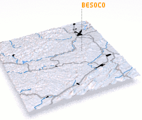 Places with similar names to Besoco, United States - USA ::
Disclaimer :: Information on this page comes without warranty of any kind |
||
|
Where is Besoco? Elevation and coordinates ::
Latitude (lat): 37°37'39"N Longitude (lon): 81°14'28"W
Elevation (approx.): 561m (map arrows pan, magnifying glasses zoom) |
||
|
Visiting Besoco? Hotel/Accommodation ::
Book a hotel in Besoco Travel Guide ::
rental cars ::
car rental offers GPS waypoint ::
download a GPX waypoint (PoI) of Besoco for your GPS receiver
|
||