|
search place name
|
||
Gerstell (West Virginia, United States - USA)Gerstell is a town in the West Virginia region of United States - USA. An overview map of the region around Gerstell is displayed below.
regional and 3d topo map of Gerstell, United States - USA ::

Gerstell airports ::
The nearest airport is EKN - Elkins Randolph Co Jennings Randolph, located 103.5 km south west of Gerstell.
Other airports nearby include AOO - Altoona Blair Co (104.4 km north east), IAD - Washington Dulles Intl (140.9 km south east), PIT - Pittsburgh (pennsylva) Pittsburgh Intl (157.6 km north west), DCA - Ronald Reagan Washington Natl (178.2 km south east), Nearby towns ::
Dawson (1.1km south west) //
Black Oak (2.1km north east) //
Danville (2.5km north) //
Forge Hill (4.1km south west) //
McCoole (5.3km south west) //
Keyser (5.9km south west) //
Limestone (6.6km south) //
Rawlings (7.1km north east) //
Rawlings Heights (7.3km north east) //
Bier (8.1km north east) //
Charlestown (8.9km north west) //
Detmold (9.3km north west) //
Nikep (9.3km north west) //
Moscow (9.1km north west) //
Reeses Mill (8.9km south east) //
Lowndes (9.6km north east) //
[all distances 'as the bird flies' and approximate] 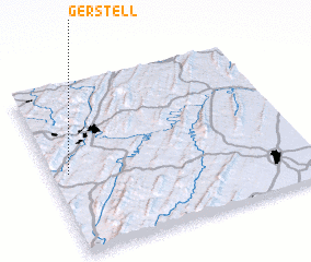 Places with similar names to Gerstell, United States - USA ::
Disclaimer :: Information on this page comes without warranty of any kind |
||
|
Where is Gerstell? Elevation and coordinates ::
Latitude (lat): 39°29'0"N Longitude (lon): 78°55'59"W
Elevation (approx.): 224m (map arrows pan, magnifying glasses zoom) |
||
|
Visiting Gerstell? Hotel/Accommodation ::
Book a hotel in Gerstell Travel Guide ::
rental cars ::
car rental offers GPS waypoint ::
download a GPX waypoint (PoI) of Gerstell for your GPS receiver
|
||