|
search place name
|
||
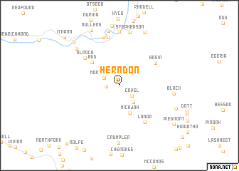
Herndon (West Virginia, United States - USA)Herndon is a town in the West Virginia region of United States - USA. An overview map of the region around Herndon is displayed below.
regional and 3d topo map of Herndon, United States - USA ::
Herndon airports ::
The nearest airport is INT - Winston-salem Smith Reynolds, located 182.0 km south east of Herndon.
Other airports nearby include HKY - Hickory Rgnl (195.8 km south), EKN - Elkins Randolph Co Jennings Randolph (201.2 km north east), Nearby towns ::
Herndon Heights (1.6km west) //
Covel (2.2km south east) //
Montecarlo (2.2km north west) //
Garwood (3.1km south east) //
Micajah (4.5km south) //
Bud (5.0km north west) //
Basin (5.7km north east) //
Alpoca (6.0km north west) //
Lamar (6.5km south east) //
Corinne (7.6km north) //
Blackeagle (7.8km north) //
Iroquois (8.4km north) //
Stephenson (8.4km north) //
Black (6.9km east) //
Beechwood (8.6km north) //
Tralee (7.8km north west) //
Madeline (8.9km north) //
Arista (7.9km south east) //
Mullens (9.3km north) //
Elmore (8.9km north west) //
Piedmont (9.1km south east) //
Itmann (10.2km north west) //
[all distances 'as the bird flies' and approximate] 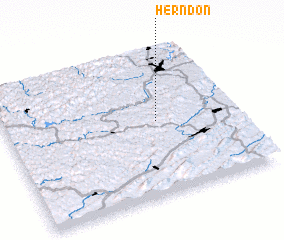 Places with similar names to Herndon, United States - USA ::
Disclaimer :: Information on this page comes without warranty of any kind |
||
|
Where is Herndon? Elevation and coordinates ::
Latitude (lat): 37°30'19"N Longitude (lon): 81°20'26"W
Elevation (approx.): 580m (map arrows pan, magnifying glasses zoom) |
||
|
Visiting Herndon? Hotel/Accommodation ::
Book a hotel in Herndon Travel Guide ::
rental cars ::
car rental offers GPS waypoint ::
download a GPX waypoint (PoI) of Herndon for your GPS receiver
|
||