|
search place name
|
||
Rift (West Virginia, United States - USA)Rift is a town in the West Virginia region of United States - USA. An overview map of the region around Rift is displayed below.
regional and 3d topo map of Rift, United States - USA ::

Rift airports ::
The nearest airport is HKY - Hickory Rgnl, located 173.1 km south of Rift.
Other airports nearby include INT - Winston-salem Smith Reynolds (181.9 km south east), EKN - Elkins Randolph Co Jennings Randolph (238.9 km north east), Nearby towns ::
Berwind (1.8km south) //
War (2.5km north west) //
Warriormine (2.4km west) //
Excelsior (3.4km north west) //
Yukon (4.4km north west) //
Cucumber (4.1km east) //
Canebrake (5.0km south east) //
Lomax (4.9km north west) //
Caretta (5.7km north) //
Newhall (5.2km south east) //
Vallscreek (6.3km south) //
English (7.0km north west) //
Squire (7.5km south east) //
Bearwallow (8.0km south west) //
Faraday (9.2km south) //
Bartley (8.5km north west) //
Johnstown (9.1km south east) //
Jacobs Fork (9.4km south east) //
[all distances 'as the bird flies' and approximate] 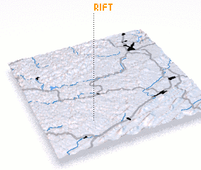 Places with similar names to Rift, United States - USA ::
Disclaimer :: Information on this page comes without warranty of any kind |
||
|
Where is Rift? Elevation and coordinates ::
Latitude (lat): 37°17'5"N Longitude (lon): 81°40'19"W
Elevation (approx.): 447m (map arrows pan, magnifying glasses zoom) |
||
|
Visiting Rift? Hotel/Accommodation ::
Book a hotel in Rift Travel Guide ::
rental cars ::
car rental offers GPS waypoint ::
download a GPX waypoint (PoI) of Rift for your GPS receiver
|
||