|
search place name
|
||
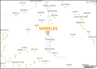
Sharples (West Virginia, United States - USA)Sharples is a town in the West Virginia region of United States - USA. An overview map of the region around Sharples is displayed below.
regional and 3d topo map of Sharples, United States - USA ::
Sharples airports ::
The nearest airport is EKN - Elkins Randolph Co Jennings Randolph, located 203.1 km north east of Sharples.
Other airports nearby include LCK - Columbus Rickenbacker Intl (230.8 km north west), INT - Winston-salem Smith Reynolds (244.5 km south east), Nearby towns ::
Sodom (0.6km south west) //
Dobra (1.6km north) //
Monclo (1.6km south west) //
Mifflin (2.4km north) //
Coal Valley (2.6km north east) //
Five Block (2.8km south) //
Clothier (3.4km north east) //
Spruce Valley (4.0km south) //
Ottawa (4.4km north) //
Blair (4.7km south) //
Isom (4.4km north west) //
Hewett (5.1km north west) //
Jeffrey (5.7km north) //
Sovereign (6.5km south) //
Secoal (6.8km north) //
Ramage (7.1km north) //
Lake (6.3km west) //
Havana (8.0km north) //
Greenview (8.3km north) //
Kelly (8.2km south) //
Hetzel (7.9km south west) //
Freeze Fork (9.2km south west) //
[all distances 'as the bird flies' and approximate] 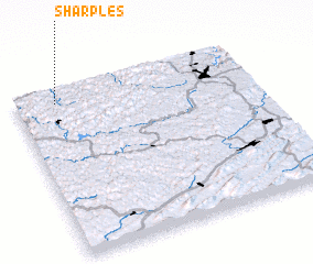 Places with similar names to Sharples, United States - USA ::
Disclaimer :: Information on this page comes without warranty of any kind |
||
|
Where is Sharples? Elevation and coordinates ::
Latitude (lat): 37°55'13"N Longitude (lon): 81°49'46"W
Elevation (approx.): 260m (map arrows pan, magnifying glasses zoom) |
||
|
Visiting Sharples? Hotel/Accommodation ::
Book a hotel in Sharples Travel Guide ::
rental cars ::
car rental offers GPS waypoint ::
download a GPX waypoint (PoI) of Sharples for your GPS receiver
|
||