|
search place name
|
||
Slaty Fork (West Virginia, United States - USA)Slaty Fork is a town in the West Virginia region of United States - USA. An overview map of the region around Slaty Fork is displayed below.
regional and 3d topo map of Slaty Fork, United States - USA ::

Slaty Fork airports ::
The nearest airport is EKN - Elkins Randolph Co Jennings Randolph, located 57.5 km north east of Slaty Fork.
Other airports nearby include AOO - Altoona Blair Co (260.4 km north east), Nearby towns ::
Brush Camp Low Place (5.0km north west) //
Walnut (4.7km east) //
Upper Mingo (10.5km north east) //
[all distances 'as the bird flies' and approximate] 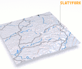 Places with similar names to Slaty Fork, United States - USA ::
// Zlatovrŭkh (BG)
// Salt Fork (US)
Disclaimer :: Information on this page comes without warranty of any kind |
||
|
Where is Slaty Fork? Elevation and coordinates ::
Latitude (lat): 38°24'59"N Longitude (lon): 80°7'37"W
Elevation (approx.): 817m (map arrows pan, magnifying glasses zoom) |
||
|
Visiting Slaty Fork? Hotel/Accommodation ::
Book a hotel in Slaty Fork Travel Guide ::
rental cars ::
car rental offers GPS waypoint ::
download a GPX waypoint (PoI) of Slaty Fork for your GPS receiver
|
||