|
search place name
|
||
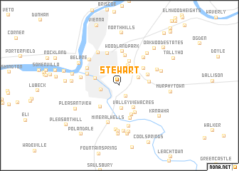
Stewart (West Virginia, United States - USA)Stewart is a town in the West Virginia region of United States - USA. An overview map of the region around Stewart is displayed below.
regional and 3d topo map of Stewart, United States - USA ::
Stewart airports ::
The nearest airport is LCK - Columbus Rickenbacker Intl, located 136.9 km north west of Stewart.
Other airports nearby include CMH - Port Columbus Intl (144.9 km north west), EKN - Elkins Randolph Co Jennings Randolph (148.8 km east), PIT - Pittsburgh (pennsylva) Pittsburgh Intl (176.9 km north east), AKR - Akron Fulton Intl (199.4 km north), Nearby towns ::
Cedar Grove (1.8km south east) //
South Parkersburg (2.4km west) //
Hillcrest (2.6km north east) //
Sunrise (3.3km north) //
Nicolette (3.6km south) //
Tavennersville (3.2km west) //
Sunset Heights (4.0km north) //
Valley View Acres (3.9km south east) //
Pettyville (4.1km south west) //
Scenic Hills (4.0km north east) //
Red Hill (3.7km east) //
Eastwood Addition (3.8km north east) //
Worthington Meadows (4.7km north) //
Community Acres (4.6km south east) //
Davisville (4.8km south) //
Woodland Park (5.3km north) //
Newport (4.3km north west) //
North Parkersburg (5.2km north) //
Creels (5.3km south) //
Parkersburg (4.8km north west) //
Mustang Acres (5.2km north east) //
Mineralwells (6.0km south) //
Beechwood (5.8km north west) //
Riverside (5.4km north west) //
Lauckport (4.8km west) //
Green Meadows Addition (5.1km north east) //
Mount Pleasant Estates (6.4km south) //
Boreman (6.0km north east) //
Oakbrook (6.9km south) //
[all distances 'as the bird flies' and approximate]  Places with similar names to Stewart, United States - USA ::
Disclaimer :: Information on this page comes without warranty of any kind |
||
|
Where is Stewart? Elevation and coordinates ::
Latitude (lat): 39°14'33"N Longitude (lon): 81°30'58"W
Elevation (approx.): 184m (map arrows pan, magnifying glasses zoom) |
||
|
Visiting Stewart? Hotel/Accommodation ::
Book a hotel in Stewart Travel Guide ::
rental cars ::
car rental offers GPS waypoint ::
download a GPX waypoint (PoI) of Stewart for your GPS receiver
|
||