|
search place name
|
||
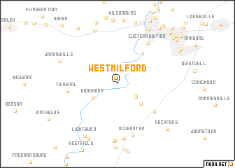
West Milford (West Virginia, United States - USA)West Milford is a town in the West Virginia region of United States - USA. An overview map of the region around West Milford is displayed below.
regional and 3d topo map of West Milford, United States - USA ::
West Milford airports ::
The nearest airport is EKN - Elkins Randolph Co Jennings Randolph, located 58.7 km south east of West Milford.
Other airports nearby include PIT - Pittsburgh (pennsylva) Pittsburgh Intl (144.1 km north), AKR - Akron Fulton Intl (223.1 km north west), Nearby towns ::
Grant Valley Trailer Court (2.9km south east) //
Sheets Mills (3.1km south east) //
Goodhope (3.7km south west) //
Rider (4.3km south east) //
Spring Hill Chapel (5.8km north east) //
Lost Creek (6.3km south east) //
Tichenal (6.3km west) //
Custer Addition (7.6km north east) //
McWhorter (8.4km south) //
Homeland (8.7km south) //
Sun Valley (9.0km north) //
Lightburn (9.3km south west) //
Lightburn Acres (9.5km south) //
Stealey (9.5km north east) //
Rockford (9.5km south east) //
Wolf Summit (10.1km north west) //
Clarksburg (10.2km north east) //
Broad Oaks (10.4km north east) //
Montpelier (11.2km north east) //
[all distances 'as the bird flies' and approximate] 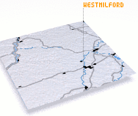 Places with similar names to West Milford, United States - USA ::
// West Milford (US)
Disclaimer :: Information on this page comes without warranty of any kind |
||
|
Where is West Milford? Elevation and coordinates ::
Latitude (lat): 39°12'3"N Longitude (lon): 80°24'16"W
Elevation (approx.): 307m (map arrows pan, magnifying glasses zoom) |
||
|
Visiting West Milford? Hotel/Accommodation ::
Book a hotel in West Milford Travel Guide ::
rental cars ::
car rental offers GPS waypoint ::
download a GPX waypoint (PoI) of West Milford for your GPS receiver
|
||