|
search place name
|
||
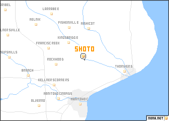
Shoto (Wisconsin, United States - USA)Shoto is a town in the Wisconsin region of United States - USA. An overview map of the region around Shoto is displayed below.
regional and 3d topo map of Shoto, United States - USA ::
Shoto airports ::
The nearest airport is GRB - Green Bay Austin Straubel Intl, located 51.5 km north west of Shoto.
Other airports nearby include MKE - Milwaukee General Mitchell Intl (137.9 km south), MSN - Madison Dane Co Rgnl Truax Fld (178.3 km south west), Nearby towns ::
Kingsbridge (4.8km north west) //
Rockwood (4.6km west) //
Mishicot (7.1km north) //
Fisherville (7.7km north) //
Francis Creek (6.4km north west) //
Kellners Corners (7.3km south west) //
Two Rivers (6.8km east) //
Manitowoc Rapids (9.4km south west) //
[all distances 'as the bird flies' and approximate] 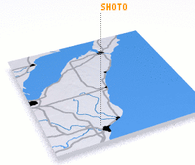 Places with similar names to Shoto, United States - USA ::
Disclaimer :: Information on this page comes without warranty of any kind |
||
|
Where is Shoto? Elevation and coordinates ::
Latitude (lat): 44°10'31"N Longitude (lon): 87°38'57"W
Elevation (approx.): 184m (map arrows pan, magnifying glasses zoom) |
||
|
Visiting Shoto? Hotel/Accommodation ::
Book a hotel in Shoto Travel Guide ::
rental cars ::
car rental offers GPS waypoint ::
download a GPX waypoint (PoI) of Shoto for your GPS receiver
|
||