|
search place name
|
||
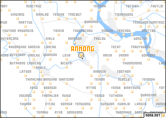
An Mộng (Vietnam)An Mộng is a town in Vietnam. An overview map of the region around An Mộng is displayed below.
regional and 3d topo map of An Mộng, Vietnam ::
An Mộng airports ::
The nearest airport is HAN - Hanoi Noibai Intl, located 75.2 km north of An Mộng.
Nearby towns ::
Văn Quan (1.9km north) //
Thái Bình (2.5km north east) //
Ngô Khe (2.5km south east) //
Yên Dan (2.5km south east) //
Lê Xá (3.5km west) //
Bích Trì (3.9km south west) //
Mang Sơn (4.1km north west) //
Ðồng Du (4.1km south east) //
Cổ Viễn (4.1km south east) //
Thư Lâu (5.1km north east) //
Ðội Sơn (5.1km north west) //
Nhân Gỉa (5.1km south east) //
Mai Xá (5.2km east) //
Thượng Châu (5.6km north) //
Ðôn Thự (5.8km south) //
Nhất Giáp (6.6km south west) //
Yên Bài (6.6km south east) //
Duyên Do Khu (6.4km south east) //
Hòa Mạc (7.4km north) //
Quang Ãm (6.9km west) //
Quan Phố (7.6km north) //
Lam Cầu (7.2km west) //
Tế Cát (7.2km east) //
Mỹ Thọ (7.6km south) //
Hưng Cong (7.6km south east) //
Ngo Khè (7.6km north east) //
Tiên Xá (7.6km north west) //
Kim Lũ (7.9km north west) //
Phương Ðộ (8.9km north east) //
[all distances 'as the bird flies' and approximate] 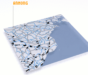 Places with similar names to An Mộng, Vietnam ::
Disclaimer :: Information on this page comes without warranty of any kind |
||
|
Where is An Mộng? Elevation and coordinates ::
Latitude (lat): 20°34'0"N Longitude (lon): 106°0'0"E
Elevation (approx.): 3m (map arrows pan, magnifying glasses zoom) |
||
|
Visiting An Mộng? Hotel/Accommodation ::
Book a hotel in An Mộng Travel Guide ::
Buy a travel guide for Vietnam rental cars ::
car rental offers GPS waypoint ::
download a GPX waypoint (PoI) of An Mộng for your GPS receiver
|
||