|
search place name
|
||
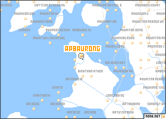
Ấp Bàu Rong (Long An, Vietnam)Ấp Bàu Rong is a town in the Long An region of Vietnam. An overview map of the region around Ấp Bàu Rong is displayed below.
regional and 3d topo map of Ấp Bàu Rong, Vietnam ::
Ấp Bàu Rong airports ::
The nearest airport is SGN - Ho Chi Minh City Tansonnhat Intl, located 95.8 km east of Ấp Bàu Rong.
Other airports nearby include PNH - Phnom-penh Phnom Penh Intl (123.0 km north west), Nearby towns ::
Ấp Lò Gạch (1.8km west) //
Lò Gạch (2.6km south west) //
Ấp Bàu Nâu (2.6km south west) //
Vĩnh Tr (2.6km north west) //
Ấp Bàu Biển (1) (2.6km north east) //
Ấp Xóm Mới (2) (3.7km south) //
Bình Thành Thôn (4.1km south east) //
Ấp Bàu Biển (2) (5.6km north) //
Ấp Xóm Mới (1) (5.9km south) //
Phumĭ Âmpĭl (6.6km north east) //
Ấp Long Khốt (7.5km east) //
Phumĭ Luŏng (7.5km east) //
Phum Séma Chum (7.8km north west) //
Phum Tuol Cacan Dol (8.2km north west) //
Khŭm Sâm Yaông (8.2km north east) //
Vĩnh Tr (9.2km south west) //
Phumĭ Bayab (9.2km north east) //
[all distances 'as the bird flies' and approximate] 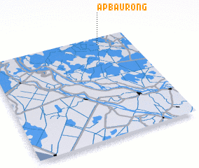 Places with similar names to Ấp Bàu Rong, Vietnam :: Disclaimer :: Information on this page comes without warranty of any kind |
||
|
Where is Ấp Bàu Rong? Elevation and coordinates ::
Latitude (lat): 10°56'0"N Longitude (lon): 105°47'0"E
Elevation (approx.): 2m (map arrows pan, magnifying glasses zoom) |
||
|
Visiting Ấp Bàu Rong? Hotel/Accommodation ::
Book a hotel in Ấp Bàu Rong Travel Guide ::
Buy a travel guide for Vietnam rental cars ::
car rental offers GPS waypoint ::
download a GPX waypoint (PoI) of Ấp Bàu Rong for your GPS receiver
|
||