|
search place name
|
||
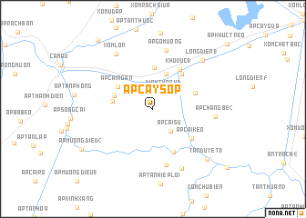
Ấp Cây Sộp (Cà Ma, Vietnam)Ấp Cây Sộp is a town in the Cà Ma region of Vietnam. An overview map of the region around Ấp Cây Sộp is displayed below.
regional and 3d topo map of Ấp Cây Sộp, Vietnam ::
Ấp Cây Sộp airports ::
The nearest airport is SGN - Ho Chi Minh City Tansonnhat Intl, located 241.9 km north east of Ấp Cây Sộp.
Nearby towns ::
Ðinh Thành (3) (2.6km north east) //
Ấp Cái Su (3.5km south east) //
Ðinh Thành (2) (4.6km north) //
Cầu Tắc Vân (4.6km north) //
Ấp Ba Vinh (5.0km west) //
Ấp Bùng Binh (5.0km west) //
Ấp Bình Ðịnh (5.1km north) //
Ấp Cái Ngan (5.1km north west) //
Khu Vưc (2) (5.5km north east) //
Ấp Cây Giá (5.5km east) //
Xóm Khâu Mét (5.9km south east) //
Khu Vưc (1) (5.9km north east) //
Ấp Cái Keo (5.9km south east) //
Tân Duyệt (2) (7.0km south) //
Ấp Gò Muồng (7.4km north) //
Ấp Chàng Bé (2) (7.7km east) //
Tân Thuận (1) (8.1km south east) //
Xóm Lơn (8.1km north west) //
Long Ðiền (1) (8.5km north east) //
Tân Duyệt (1) (9.0km south east) //
Ấp Mương Ðiều (2) (9.9km south west) //
Ấp Tân Ðức (10.8km north west) //
[all distances 'as the bird flies' and approximate] 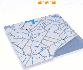 Places with similar names to Ấp Cây Sộp, Vietnam :: Disclaimer :: Information on this page comes without warranty of any kind |
||
|
Where is Ấp Cây Sộp? Elevation and coordinates ::
Latitude (lat): 9°7'42"N Longitude (lon): 105°15'7"E
Elevation (approx.): 4m (map arrows pan, magnifying glasses zoom) |
||
|
Visiting Ấp Cây Sộp? Hotel/Accommodation ::
Book a hotel in Ấp Cây Sộp Travel Guide ::
Buy a travel guide for Vietnam rental cars ::
car rental offers GPS waypoint ::
download a GPX waypoint (PoI) of Ấp Cây Sộp for your GPS receiver
|
||