|
search place name
|
||
Ấp Mỹ Ðiền (2) (Tiền Giang, Vietnam)Ấp Mỹ Ðiền (2) is a town in the Tiền Giang region of Vietnam. An overview map of the region around Ấp Mỹ Ðiền (2) is displayed below.
regional and 3d topo map of Ấp Mỹ Ðiền (2), Vietnam ::

Ấp Mỹ Ðiền (2) airports ::
The nearest airport is SGN - Ho Chi Minh City Tansonnhat Intl, located 56.4 km north east of Ấp Mỹ Ðiền (2).
Other airports nearby include PNH - Phnom-penh Phnom Penh Intl (192.4 km north west), Nearby towns ::
Ấp Hưng Qứi (1.8km east) //
Xóm Cá Giầm (5.6km south) //
Xóm Cá Giầm (5.9km south) //
Ấp Mỹ Ðiền (1) (6.6km south west) //
Ấp Tân Thành (7.3km east) //
Ấp Tân Lập (1) (7.8km south east) //
Ấp Ðịnh Hòa (8.3km south east) //
Xóm Cống Tương (8.2km north east) //
Chợ Thầy Yến (9.2km north east) //
Ấp Tân Thới (9.2km south west) //
Ấp Tân Hiệp (10.4km south west) //
[all distances 'as the bird flies' and approximate] 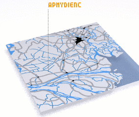 Places with similar names to Ấp Mỹ Ðiền (2), Vietnam ::
Disclaimer :: Information on this page comes without warranty of any kind |
||
|
Where is Ấp Mỹ Ðiền (2)? Elevation and coordinates ::
Latitude (lat): 10°30'0"N Longitude (lon): 106°15'0"E
Elevation (approx.): 3m (map arrows pan, magnifying glasses zoom) |
||
|
Visiting Ấp Mỹ Ðiền (2)? Hotel/Accommodation ::
Book a hotel in Ấp Mỹ Ðiền (2) Travel Guide ::
Buy a travel guide for Vietnam rental cars ::
car rental offers GPS waypoint ::
download a GPX waypoint (PoI) of Ấp Mỹ Ðiền (2) for your GPS receiver
|
||