|
search place name
|
||
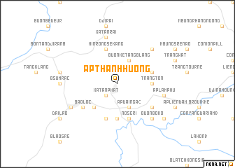
Ấp Thánh Hương (Lâm Ðồng, Vietnam)Ấp Thánh Hương is a town in the Lâm Ðồng region of Vietnam. An overview map of the region around Ấp Thánh Hương is displayed below.
regional and 3d topo map of Ấp Thánh Hương, Vietnam ::
Ấp Thánh Hương airports ::
The nearest airport is SGN - Ho Chi Minh City Tansonnhat Intl, located 154.8 km south west of Ấp Thánh Hương.
Other airports nearby include NHA - Nhatrang (163.5 km north east), Nearby towns ::
Xã Tân Phát (2.6km south west) //
Buôn Ke Tang Blang (4.1km north east) //
Ấp Ðại Nga (2) (4.1km south east) //
Ấp Thiện Lập (5.2km south west) //
Blach Kon Hin (2) (5.6km south) //
Trang Tơn (5.4km east) //
Kroot Da R'gna (5.8km east) //
Minrong Sekang (5.8km north) //
Konteh Sre Pong (5.8km south) //
Noseri (5.8km south) //
Bảo Lộc (6.6km south west) //
Ấp Lâm Lạc (2) (6.6km south east) //
Xã Tân Rài (7.6km north) //
Ấp Lâm Phú (7.5km east) //
B'ké Klour (2) (7.8km north east) //
Buôn Boko (7.8km south east) //
Ấp Tân Hà (8.2km south west) //
Ấp Lâm Lạc (1) (9.1km south east) //
[all distances 'as the bird flies' and approximate] 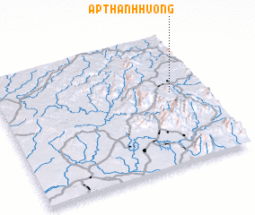 Places with similar names to Ấp Thánh Hương, Vietnam ::
// Ấp Thạnh Hưng (VN)
// Ấp Thạnh Hưng (VN)
Disclaimer :: Information on this page comes without warranty of any kind |
||
|
Where is Ấp Thánh Hương? Elevation and coordinates ::
Latitude (lat): 11°34'0"N Longitude (lon): 107°51'0"E
Elevation (approx.): 824m (map arrows pan, magnifying glasses zoom) |
||
|
Visiting Ấp Thánh Hương? Hotel/Accommodation ::
Book a hotel in Ấp Thánh Hương Travel Guide ::
Buy a travel guide for Vietnam rental cars ::
car rental offers GPS waypoint ::
download a GPX waypoint (PoI) of Ấp Thánh Hương for your GPS receiver
|
||