|
search place name
|
||
Ấp Vĩnh Hội (Long An, Vietnam)Ấp Vĩnh Hội is a town in the Long An region of Vietnam. An overview map of the region around Ấp Vĩnh Hội is displayed below.
regional and 3d topo map of Ấp Vĩnh Hội, Vietnam ::

Ấp Vĩnh Hội airports ::
The nearest airport is SGN - Ho Chi Minh City Tansonnhat Intl, located 26.4 km north east of Ấp Vĩnh Hội.
Other airports nearby include PNH - Phnom-penh Phnom Penh Intl (196.4 km north west), Nearby towns ::
Lương Hòa (1.9km north) //
Ấp Thành Nhứt (2.6km south west) //
Tân Bửu (5.8km east) //
Ấp Bình Ðông (5.9km south) //
Ấp Thạnh Hưng (5.9km north) //
Ấp Chính Hòa (5.9km north) //
Ấp Nhì (3) (5.9km south) //
Ấp Thanh Bình (6.6km north west) //
Ấp Ba (3) (6.6km south east) //
An Thạnh (6.6km south east) //
Ấp Sông Trà (1) (7.4km north) //
Ấp Thạnh Ðông (7.6km north) //
Ấp Rạch Gấu (3) (7.6km north) //
Xóm Bà Lòi (7.6km north) //
Xóm Kinh Xáng (7.6km north) //
Ấp Nhứt (1) (7.6km south) //
Ấp Nhì (1) (8.3km south east) //
Bến Lức (9.2km south east) //
Ấp Nhì (1) (9.2km south east) //
Ấp Ba (2) (9.2km south east) //
Ðức Hòa (9.2km north east) //
[all distances 'as the bird flies' and approximate] 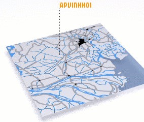 Places with similar names to Ấp Vĩnh Hội, Vietnam ::
Disclaimer :: Information on this page comes without warranty of any kind |
||
|
Where is Ấp Vĩnh Hội? Elevation and coordinates ::
Latitude (lat): 10°43'0"N Longitude (lon): 106°26'0"E
Elevation (approx.): 6m (map arrows pan, magnifying glasses zoom) |
||
|
Visiting Ấp Vĩnh Hội? Hotel/Accommodation ::
Book a hotel in Ấp Vĩnh Hội Travel Guide ::
Buy a travel guide for Vietnam rental cars ::
car rental offers GPS waypoint ::
download a GPX waypoint (PoI) of Ấp Vĩnh Hội for your GPS receiver
|
||