|
search place name
|
||
Ấp Vinh Thới (Bạc Liêu, Vietnam)Ấp Vinh Thới is a town in the Bạc Liêu region of Vietnam. An overview map of the region around Ấp Vinh Thới is displayed below.
regional and 3d topo map of Ấp Vinh Thới, Vietnam ::

Ấp Vinh Thới airports ::
The nearest airport is SGN - Ho Chi Minh City Tansonnhat Intl, located 180.7 km north east of Ấp Vinh Thới.
Other airports nearby include PNH - Phnom-penh Phnom Penh Intl (230.2 km north), Nearby towns ::
Ấp Vinh An (1.6km west) //
Ấp Cái Rắn (2.3km north west) //
Ấp Dầy Oán (2.9km west) //
Ấp Cái Trầu (3.5km south east) //
Ấp Thuận Phú (2) (3.6km north east) //
Xóm Trà Ban Nhỏ (3.6km north east) //
Xóm Cái Trầu (4.1km east) //
Ấp Tân Phú (4.1km east) //
Vĩnh Qưới (4.8km south east) //
Ấp Ngả Bác (5.8km north west) //
Ấp Thuận Phú (1) (6.4km north east) //
Xóm Trà Nô (6.4km north east) //
Xóm Cá Lóc (6.4km north east) //
Xóm Giữa (6.6km north west) //
Ấp Bào Sấu (6.8km south) //
Ấp Dao Ðu (6.7km north west) //
Xóm Tràm Tróc (7.3km north) //
Tân Long (7.7km east) //
Xóm Xẻo Ràng (8.3km north) //
Ấp Cơ Ba (8.5km south east) //
[all distances 'as the bird flies' and approximate] 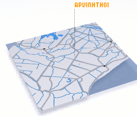 Places with similar names to Ấp Vinh Thới, Vietnam ::
// Ấp Vĩnh Thới (VN)
Disclaimer :: Information on this page comes without warranty of any kind |
||
|
Where is Ấp Vinh Thới? Elevation and coordinates ::
Latitude (lat): 9°35'28"N Longitude (lon): 105°33'50"E
Elevation (approx.): -1m (map arrows pan, magnifying glasses zoom) |
||
|
Visiting Ấp Vinh Thới? Hotel/Accommodation ::
Book a hotel in Ấp Vinh Thới Travel Guide ::
Buy a travel guide for Vietnam rental cars ::
car rental offers GPS waypoint ::
download a GPX waypoint (PoI) of Ấp Vinh Thới for your GPS receiver
|
||