|
search place name
|
||
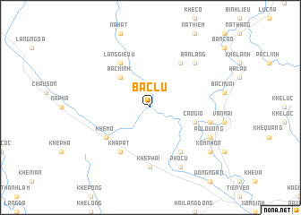
Bac Lu (Quảng Ninh, Vietnam)Bac Lu is a town in the Quảng Ninh region of Vietnam. An overview map of the region around Bac Lu is displayed below.
regional and 3d topo map of Bac Lu, Vietnam ::
Bac Lu airports ::
The nearest airport is HAN - Hanoi Noibai Intl, located 156.6 km west of Bac Lu.
Other airports nearby include NNG - Nanning Wuxu (158.2 km north east), Nearby towns ::
Bằc Minh (5.1km north west) //
Cao Gio (5.5km east) //
Làng Gieou (6.5km north west) //
Kha Pat (6.5km south west) //
Khê Mô (6.4km south west) //
Ðồng Mưới (6.5km south east) //
Ban Buong (6.5km north east) //
Khê Phái (7.4km south) //
Co Minh (7.1km east) //
Ban Lang (7.6km north east) //
Phố Cũ (8.2km south east) //
Po Louong (7.8km south east) //
Xóm Nhớn (8.9km south east) //
[all distances 'as the bird flies' and approximate] 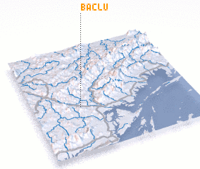 Places with similar names to Bac Lu, Vietnam ::
Disclaimer :: Information on this page comes without warranty of any kind |
||
|
Where is Bac Lu? Elevation and coordinates ::
Latitude (lat): 21°26'0"N Longitude (lon): 107°18'0"E
Elevation (approx.): 41m (map arrows pan, magnifying glasses zoom) |
||
|
Visiting Bac Lu? Hotel/Accommodation ::
Book a hotel in Bac Lu Travel Guide ::
Buy a travel guide for Vietnam rental cars ::
car rental offers GPS waypoint ::
download a GPX waypoint (PoI) of Bac Lu for your GPS receiver
|
||