|
search place name
|
||
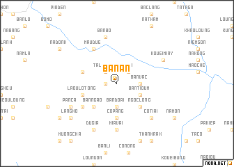
Bản An (Vietnam)Bản An is a town in Vietnam. An overview map of the region around Bản An is displayed below.
regional and 3d topo map of Bản An, Vietnam ::
Bản An airports ::
The nearest airport is HAN - Hanoi Noibai Intl, located 205.6 km south of Bản An.
Nearby towns ::
Loung Man (1.7km west) //
Ta Loung (2) (2.5km north west) //
Na Lo (2.5km north east) //
Bản Vac (3.4km east) //
Bản Doai (3.7km south) //
Bản Tioum (3.9km south east) //
Bản Ngao (5.0km south west) //
Ngoc Long (5.0km south east) //
Co Pang (5.6km south) //
Ta Loung (1) (5.4km west) //
Laou Lo Tong (5.4km west) //
Mậu Duệ (6.5km north west) //
Lao Lang Sa (6.3km south west) //
Hia Vai (7.4km south) //
Bản Bô (7.6km north) //
Co Tiai (7.6km south east) //
Du Gia (8.2km south west) //
Kouei Miay (7.8km north east) //
Pan Ca (7.8km south west) //
Làng Ho (8.8km south west) //
[all distances 'as the bird flies' and approximate] 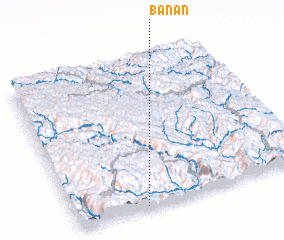 Places with similar names to Bản An, Vietnam ::
Disclaimer :: Information on this page comes without warranty of any kind |
||
|
Where is Bản An? Elevation and coordinates ::
Latitude (lat): 23°1'0"N Longitude (lon): 105°18'0"E
Elevation (approx.): 381m (map arrows pan, magnifying glasses zoom) |
||
|
Visiting Bản An? Hotel/Accommodation ::
Book a hotel in Bản An Travel Guide ::
Buy a travel guide for Vietnam rental cars ::
car rental offers GPS waypoint ::
download a GPX waypoint (PoI) of Bản An for your GPS receiver
|
||