|
search place name
|
||
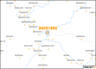
Ban Ay Bao (Ðắc Lắk, Vietnam)Ban Ay Bao is a town in the Ðắc Lắk region of Vietnam. An overview map of the region around Ban Ay Bao is displayed below.
regional and 3d topo map of Ban Ay Bao, Vietnam ::
Ban Ay Bao airports ::
The nearest airport is NHA - Nhatrang, located 108.7 km south east of Ban Ay Bao.
Nearby towns ::
Ban Tion (0.0km north) //
Ban Xã Thu (1.9km north) //
Núi Chuồi Ðê (1.9km south) //
Ban Bung (1.9km south) //
Ban Bai (2.6km south east) //
Ban Ma Muk (2.6km north west) //
Ban Thiek (2) (3.6km west) //
Sông Ba (5.2km south west) //
Djnan Mblack (5.6km south) //
Ban Huiet (5.7km west) //
Ban Blang (6.6km north west) //
Buôn Jí (1) (6.6km south west) //
Ban Tôi (6.6km south west) //
Ban Ban (7.8km south west) //
Ban Ba Mla (7.8km north west) //
Ban Bong Black (8.1km north west) //
Ban Mlaih (8.2km south west) //
Ban Ling (3) (9.1km south west) //
[all distances 'as the bird flies' and approximate] 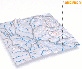 Places with similar names to Ban Ay Bao, Vietnam ::
Disclaimer :: Information on this page comes without warranty of any kind |
||
|
Where is Ban Ay Bao? Elevation and coordinates ::
Latitude (lat): 13°7'0"N Longitude (lon): 108°46'0"E
Elevation (approx.): 108m (map arrows pan, magnifying glasses zoom) |
||
|
Visiting Ban Ay Bao? Hotel/Accommodation ::
Book a hotel in Ban Ay Bao Travel Guide ::
Buy a travel guide for Vietnam rental cars ::
car rental offers GPS waypoint ::
download a GPX waypoint (PoI) of Ban Ay Bao for your GPS receiver
|
||