|
search place name
|
||
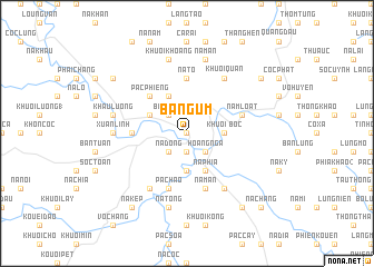
Bản Gùm (Cao Bằng, Vietnam)Bản Gùm is a town in the Cao Bằng region of Vietnam. An overview map of the region around Bản Gùm is displayed below.
regional and 3d topo map of Bản Gùm, Vietnam ::
Bản Gùm airports ::
The nearest airport is HAN - Hanoi Noibai Intl, located 168.2 km south of Bản Gùm.
Other airports nearby include NNG - Nanning Wuxu (197.8 km east), Nearby towns ::
Nà Lum (0.0km north) //
Gia Cung (0.0km north) //
Cao Bằng (1.9km south) //
Hoàng Ngà (2.5km south east) //
Nà Dong (2.5km south west) //
Bản Ngân (2.5km north west) //
Bốc Khuổi (3.4km east) //
Nà Hoàng (3.7km south) //
Bản Múa (3.9km north west) //
Bản Lăng (3.9km north west) //
Nà Phia (4.1km south east) //
Khuổi Hoi (4.1km north west) //
Pác Phiêng (5.0km north west) //
Lin Luồng (5.1km west) //
Nà Tỏ (5.6km north) //
Năm Loát (5.5km east) //
Pác Háo (5.8km south) //
Nà Mẩn (5.8km south) //
Khuổi Quân (6.5km north east) //
Khuổi Chiêu (6.5km south east) //
Nà Ðin (6.5km south west) //
Xuân Lĩnh (6.8km west) //
Nà Tòng (7.6km south) //
Khău Luông (7.1km west) //
Khuổi Ðăm (7.6km north) //
Nà Mấn (7.6km north) //
Khuổi Khoáng (7.6km north) //
Nà Kep (9.0km south west) //
Khuổi Dam (9.0km south east) //
[all distances 'as the bird flies' and approximate] 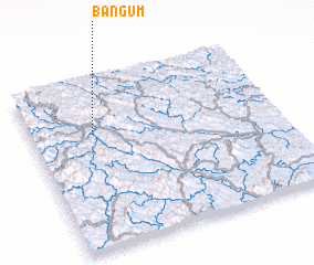 Places with similar names to Bản Gùm, Vietnam ::
Disclaimer :: Information on this page comes without warranty of any kind |
||
|
Where is Bản Gùm? Elevation and coordinates ::
Latitude (lat): 22°41'0"N Longitude (lon): 106°15'0"E
Elevation (approx.): 211m (map arrows pan, magnifying glasses zoom) |
||
|
Visiting Bản Gùm? Hotel/Accommodation ::
Book a hotel in Bản Gùm Travel Guide ::
Buy a travel guide for Vietnam rental cars ::
car rental offers GPS waypoint ::
download a GPX waypoint (PoI) of Bản Gùm for your GPS receiver
|
||