|
search place name
|
||
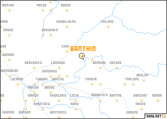
Bản Thin (Lạng Sơn, Vietnam)Bản Thin is a town in the Lạng Sơn region of Vietnam. An overview map of the region around Bản Thin is displayed below.
regional and 3d topo map of Bản Thin, Vietnam ::
Bản Thin airports ::
The nearest airport is HAN - Hanoi Noibai Intl, located 143.8 km south west of Bản Thin.
Other airports nearby include NNG - Nanning Wuxu (146.3 km north east), Nearby towns ::
Tư Mịch (1.7km east) //
Chi Mã (3.9km north west) //
Bản Phải (3.9km south east) //
Bản Luông (5.1km south west) //
Lông Ðầu (5.5km west) //
Tĩnh Gia (5.8km south) //
Khuôi Lỳ (5.8km south) //
Khuất Xá (6.4km south west) //
Nà Dua (6.5km south east) //
Na Cang (7.1km east) //
Bản Chu (7.6km south west) //
Khuòi Lương (8.2km north west) //
Sã Nghiêu (7.8km south west) //
Zhilang (9.0km north east) //
Song Khôn (8.8km north west) //
Bản Mo (10.1km south west) //
[all distances 'as the bird flies' and approximate] 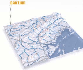 Places with similar names to Bản Thin, Vietnam ::
// Benthen (DE)
// Bīnāthin (IQ)
// Ban Nai Thon (TH)
// Ban Nai Thun (TH)
// Ban Na Than (TH)
// Ban Na Thon (TH)
// Ban Na Thon (TH)
// Ban Na Thon (TH)
// Ban Na Thon (TH)
// Ban Thaen (TH)
Disclaimer :: Information on this page comes without warranty of any kind |
||
|
Where is Bản Thin? Elevation and coordinates ::
Latitude (lat): 21°48'0"N Longitude (lon): 107°3'0"E
Elevation (approx.): 301m (map arrows pan, magnifying glasses zoom) |
||
|
Visiting Bản Thin? Hotel/Accommodation ::
Book a hotel in Bản Thin Travel Guide ::
Buy a travel guide for Vietnam rental cars ::
car rental offers GPS waypoint ::
download a GPX waypoint (PoI) of Bản Thin for your GPS receiver
|
||