|
search place name
|
||
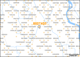
Bao Thon (Vietnam)Bao Thon is a town in Vietnam. An overview map of the region around Bao Thon is displayed below.
regional and 3d topo map of Bao Thon, Vietnam ::
Bao Thon airports ::
The nearest airport is HAN - Hanoi Noibai Intl, located 50.3 km north of Bao Thon.
Nearby towns ::
Ha Thôn (1.9km north) //
Trình Viên (2.5km north east) //
Xà Cầu (2.5km north west) //
Hòa Mỹ (2.5km north east) //
Hoàng Lưu (2.5km south east) //
Thanh Sam (3.5km west) //
Vien Hoàng (3.5km east) //
Phu Lương (3.9km north west) //
Quảng Nguyên (3.9km north west) //
Tiến Ðộng (3.9km north east) //
Vũ Nội (3.9km south west) //
Chu Mại (4.1km north east) //
Kim Lũng (3.9km south east) //
Ứng Hòa Phủ (4.1km south west) //
Ang Phao (5.1km north west) //
Yên Cốc (5.1km north east) //
Vân Ðình (5.1km south west) //
Dũng Cảm (5.1km south east) //
Hoàng Hạ (5.2km east) //
Ðông Dương (5.6km south) //
Sơn Lãng (5.5km west) //
Họa Ðông (5.5km west) //
Quáng Tái Thượng (5.8km south) //
Canh Hoạch (5.8km north) //
Thái Bình (6.6km south west) //
Mỹ Ðức (6.6km south west) //
Thị Nguyên (6.6km north west) //
Xuyên Ðương (6.4km north west) //
Phượng Vũ (6.4km north east) //
[all distances 'as the bird flies' and approximate]  Places with similar names to Bao Thon, Vietnam ::
Disclaimer :: Information on this page comes without warranty of any kind |
||
|
Where is Bao Thon? Elevation and coordinates ::
Latitude (lat): 20°46'0"N Longitude (lon): 105°48'0"E
Elevation (approx.): 4m (map arrows pan, magnifying glasses zoom) |
||
|
Visiting Bao Thon? Hotel/Accommodation ::
Book a hotel in Bao Thon Travel Guide ::
Buy a travel guide for Vietnam rental cars ::
car rental offers GPS waypoint ::
download a GPX waypoint (PoI) of Bao Thon for your GPS receiver
|
||