|
search place name
|
||
Blac Da Döng (Lâm Ðồng, Vietnam)Blac Da Döng is a town in the Lâm Ðồng region of Vietnam. An overview map of the region around Blac Da Döng is displayed below.
regional and 3d topo map of Blac Da Döng, Vietnam ::

Blac Da Döng airports ::
The nearest airport is SGN - Ho Chi Minh City Tansonnhat Intl, located 116.8 km south west of Blac Da Döng.
Other airports nearby include NHA - Nhatrang (203.6 km north east), Nearby towns ::
Tơng Jrang Jring (1.8km east) //
Du Ðalac (2.6km south west) //
Riu Danarr (5.8km east) //
Blac Dang R'mit (7.3km east) //
B'rla Da Nhar (7.6km north) //
Buôn Gor (8.2km north west) //
Quan Tom (9.2km south west) //
M”kar Da Té (9.2km north east) //
Bo Kocil (9.1km south east) //
[all distances 'as the bird flies' and approximate] 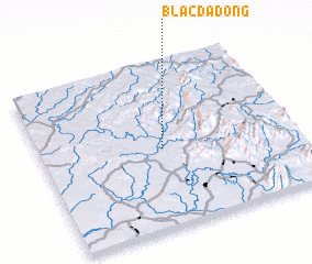 Places with similar names to Blac Da Döng, Vietnam :: Disclaimer :: Information on this page comes without warranty of any kind |
||
|
Where is Blac Da Döng? Elevation and coordinates ::
Latitude (lat): 11°29'0"N Longitude (lon): 107°29'0"E
Elevation (approx.): 133m (map arrows pan, magnifying glasses zoom) |
||
|
Visiting Blac Da Döng? Hotel/Accommodation ::
Book a hotel in Blac Da Döng Travel Guide ::
Buy a travel guide for Vietnam rental cars ::
car rental offers GPS waypoint ::
download a GPX waypoint (PoI) of Blac Da Döng for your GPS receiver
|
||