|
search place name
|
||
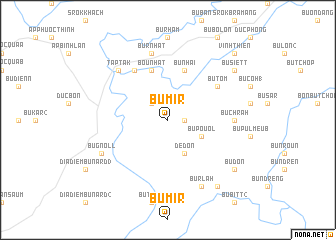
Bu Mir (Sông Bé, Vietnam)Bu Mir is a town in the Sông Bé region of Vietnam. An overview map of the region around Bu Mir is displayed below.
regional and 3d topo map of Bu Mir, Vietnam ::
Bu Mir airports ::
The nearest airport is SGN - Ho Chi Minh City Tansonnhat Intl, located 114.1 km south west of Bu Mir.
Nearby towns ::
Bu Narr (1.8km east) //
Bu Glong (2.6km north west) //
Bu Pouol (4.1km south east) //
Dedon (4.1km south east) //
Bu Nhai (5.8km north) //
Bu Croi (5.8km north) //
Bounhat (5.8km north) //
Bu Tom (6.6km north east) //
Bu Thion (6.6km north west) //
Bu Chrah (7.3km east) //
Bu Rnhat (7.6km north) //
Taptak (7.8km north west) //
Bu Rlah (8.3km south east) //
Bu Gnoll (8.2km south west) //
Bu Ðôn (9.1km south east) //
Bu Siett (9.1km north east) //
Bu Bitt (1) (9.2km south east) //
Vĩnh Thiện (10.4km north east) //
[all distances 'as the bird flies' and approximate] 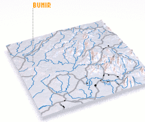 Places with similar names to Bu Mir, Vietnam ::
Disclaimer :: Information on this page comes without warranty of any kind |
||
|
Where is Bu Mir? Elevation and coordinates ::
Latitude (lat): 11°43'0"N Longitude (lon): 107°10'0"E
Elevation (approx.): 251m (map arrows pan, magnifying glasses zoom) |
||
|
Visiting Bu Mir? Hotel/Accommodation ::
Book a hotel in Bu Mir Travel Guide ::
Buy a travel guide for Vietnam rental cars ::
car rental offers GPS waypoint ::
download a GPX waypoint (PoI) of Bu Mir for your GPS receiver
|
||