|
search place name
|
||
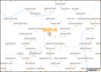
Buôn Ju (Ðắc Lắk, Vietnam)Buôn Ju is a town in the Ðắc Lắk region of Vietnam. An overview map of the region around Buôn Ju is displayed below.
regional and 3d topo map of Buôn Ju, Vietnam ::
Buôn Ju airports ::
The nearest airport is NHA - Nhatrang, located 131.3 km south east of Buôn Ju.
Other airports nearby include SGN - Ho Chi Minh City Tansonnhat Intl (264.1 km south west), Nearby towns ::
Ðat Lý (1) (1.8km east) //
Buôn Ea Trum (2.6km north west) //
Buôn Krôa (1) (3.6km east) //
Buôn Enao (4.1km south west) //
Buôn Kmrâng Prŏng (2) (4.1km south east) //
Buôn Lang (4.1km north east) //
Buôn Kô Tam (5.2km south east) //
Trại Lê Lai (5.6km south) //
Buôn Emăp (5.6km north) //
Buôn Krôa (3) (5.4km east) //
Buôn Dhă Prŏng (5.7km west) //
Buôn Sŭt Mdrang (5.7km west) //
Buôn Krôa (2) (5.7km east) //
Buôn Kô Sir (6.6km south west) //
Buôn Ea Sŭt (6.6km north east) //
Buôn Ea Kmăt (6.6km south east) //
Buôn Chur Tara (6.6km south east) //
Hòa Bình (7.4km south) //
Buôn Ea Bŏng (7.5km west) //
Buôn Ma Thuột (9.2km south west) //
Buôn Ea Pôc (9.2km north west) //
Buôn Ðũng (9.1km south west) //
Tân Hòa (9.1km north east) //
Tân Thới (9.1km north east) //
[all distances 'as the bird flies' and approximate] 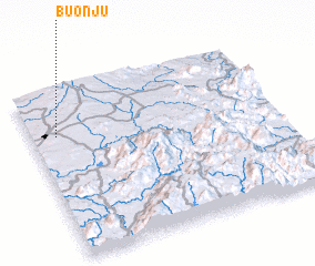 Places with similar names to Buôn Ju, Vietnam ::
Disclaimer :: Information on this page comes without warranty of any kind |
||
|
Where is Buôn Ju? Elevation and coordinates ::
Latitude (lat): 12°44'0"N Longitude (lon): 108°6'0"E
Elevation (approx.): 544m (map arrows pan, magnifying glasses zoom) |
||
|
Visiting Buôn Ju? Hotel/Accommodation ::
Book a hotel in Buôn Ju Travel Guide ::
Buy a travel guide for Vietnam rental cars ::
car rental offers GPS waypoint ::
download a GPX waypoint (PoI) of Buôn Ju for your GPS receiver
|
||