|
search place name
|
||
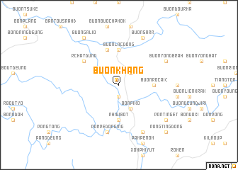
Buôn Khang (Ðắc Lắk, Vietnam)Buôn Khang is a town in the Ðắc Lắk region of Vietnam. An overview map of the region around Buôn Khang is displayed below.
regional and 3d topo map of Buôn Khang, Vietnam ::
Buôn Khang airports ::
The nearest airport is NHA - Nhatrang, located 117.1 km east of Buôn Khang.
Other airports nearby include SGN - Ho Chi Minh City Tansonnhat Intl (221.1 km south west), Nearby towns ::
Phi Ði Ya (1.9km south) //
Buôn Glé Bang (2.6km north east) //
Bon Pi Ko (4.1km south east) //
Buôn Rơcai (2) (5.4km east) //
Buôn Rơcai (1) (5.4km east) //
Phi Ði Bot (5.6km south) //
Buôn Lăc Dơng (5.6km north) //
Buôn Dih Lung (5.8km north) //
R”chay Dung (6.6km north west) //
Pampé Da R”ging (7.6km south) //
Buôn Yông Brah (8.1km north east) //
Pang Phey Dan (8.3km south east) //
Buôn Sarr (8.3km north east) //
Pan Ting Et (9.1km south east) //
Buôn Galio (9.2km north west) //
Pang Ting Ðơng (10.4km south east) //
[all distances 'as the bird flies' and approximate] 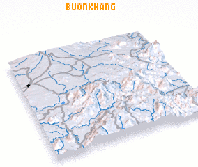 Places with similar names to Buôn Khang, Vietnam ::
// Ban Khang (TH)
// Ban Kheng (TH)
// Ban Kheng (TH)
// Ban Khi Nak (TH)
// Ban Khi Nak (TH)
// Ban Khong (TH)
// Ban Khong (TH)
// Ban Khuan (2) (TH)
// Ban Khuang (TH)
// Ban Khua Ngo (TH)
Disclaimer :: Information on this page comes without warranty of any kind |
||
|
Where is Buôn Khang? Elevation and coordinates ::
Latitude (lat): 12°12'0"N Longitude (lon): 108°7'0"E
Elevation (approx.): 504m (map arrows pan, magnifying glasses zoom) |
||
|
Visiting Buôn Khang? Hotel/Accommodation ::
Book a hotel in Buôn Khang Travel Guide ::
Buy a travel guide for Vietnam rental cars ::
car rental offers GPS waypoint ::
download a GPX waypoint (PoI) of Buôn Khang for your GPS receiver
|
||