|
search place name
|
||
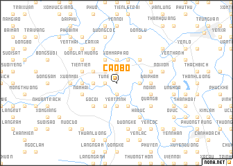
Cao Bộ (Vietnam)Cao Bộ is a town in Vietnam. An overview map of the region around Cao Bộ is displayed below.
regional and 3d topo map of Cao Bộ, Vietnam ::
Cao Bộ airports ::
The nearest airport is HAN - Hanoi Noibai Intl, located 39.1 km north east of Cao Bộ.
Nearby towns ::
Nhân Lý (1.9km south) //
Từ Nê (1.7km west) //
Phù Yên (1.9km north) //
Phương Hài (2.5km north west) //
An Khê (3.5km east) //
Hữu Vãn (3.7km south) //
Yên Trình (3.7km south) //
Xóm Mâ Phào (3.7km north) //
Tiến Ân (3.5km west) //
Mỹ Lương (4.1km south east) //
Yên Ðuyệt (4.1km south east) //
Tốt Ðộng (4.1km south east) //
Phú Vinh (4.1km north east) //
Thuận Lương (4.1km south west) //
Lương Sơn (4.1km north west) //
Sơn Quyết (3.9km north west) //
Long Châu (5.1km north east) //
Gò Cói (5.1km south west) //
Ðại Phẩm (5.2km east) //
Phương Hạnh (5.2km west) //
Tri Thủy (5.2km west) //
Nôi An (5.5km east) //
Ngoc Gia (5.5km east) //
Nam Hài (5.5km west) //
Tiên Tiên (5.5km west) //
Hạ Ðuc (6.6km south east) //
Quảng B (6.4km south east) //
Cấn Xá (6.5km north west) //
Ðông La Thượng (6.4km north west) //
[all distances 'as the bird flies' and approximate] 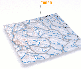 Places with similar names to Cao Bộ, Vietnam ::
Disclaimer :: Information on this page comes without warranty of any kind |
||
|
Where is Cao Bộ? Elevation and coordinates ::
Latitude (lat): 20°54'0"N Longitude (lon): 105°39'0"E
Elevation (approx.): 5m (map arrows pan, magnifying glasses zoom) |
||
|
Visiting Cao Bộ? Hotel/Accommodation ::
Book a hotel in Cao Bộ Travel Guide ::
Buy a travel guide for Vietnam rental cars ::
car rental offers GPS waypoint ::
download a GPX waypoint (PoI) of Cao Bộ for your GPS receiver
|
||