|
search place name
|
||
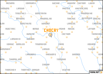
Chợ Cay (Vietnam)Chợ Cay is a town in Vietnam. An overview map of the region around Chợ Cay is displayed below.
regional and 3d topo map of Chợ Cay, Vietnam ::
Chợ Cay airports ::
The nearest airport is HAN - Hanoi Noibai Intl, located 78.2 km north of Chợ Cay.
Nearby towns ::
Cố Nghĩa (1.7km west) //
Ðâm Ðã (2.5km north west) //
Dồng Khuống (2.5km south west) //
Cô Nghĩa (3.9km north east) //
Bến Chùa (4.1km north west) //
Dồng Bột (4.1km north west) //
Bên Trai (4.1km south east) //
Trương Môn (5.1km south west) //
Chi Nê (5.1km south east) //
Cốc Thôn (5.2km east) //
Bên Ðò (5.5km west) //
Làng Vò (5.8km south) //
Nhượng Lão (5.8km north) //
Làng Rĩ (5.8km north) //
Yên Ðội (6.6km south east) //
Khê Ðường (7.4km south) //
Húng Thi (6.9km west) //
Nội Cốc (7.2km east) //
Suối Bán (7.2km west) //
Thung Rác (7.6km south east) //
Dồng Tranh (8.2km north west) //
Làng Cốc (7.9km north east) //
Tam Chức (8.9km north east) //
Canh Lãm (10.2km north west) //
Thụy Lôi (10.2km north east) //
Hậu Bổng (10.2km south west) //
Làng Bổng (10.2km south west) //
[all distances 'as the bird flies' and approximate] 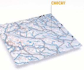 Places with similar names to Chợ Cay, Vietnam ::
Disclaimer :: Information on this page comes without warranty of any kind |
||
|
Where is Chợ Cay? Elevation and coordinates ::
Latitude (lat): 20°31'0"N Longitude (lon): 105°45'0"E
Elevation (approx.): 12m (map arrows pan, magnifying glasses zoom) |
||
|
Visiting Chợ Cay? Hotel/Accommodation ::
Book a hotel in Chợ Cay Travel Guide ::
Buy a travel guide for Vietnam rental cars ::
car rental offers GPS waypoint ::
download a GPX waypoint (PoI) of Chợ Cay for your GPS receiver
|
||