|
search place name
|
||
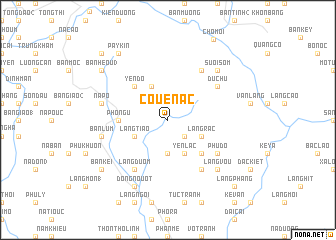
Coue Nac (Bắc Thái, Vietnam)Coue Nac is a town in the Bắc Thái region of Vietnam. An overview map of the region around Coue Nac is displayed below.
regional and 3d topo map of Coue Nac, Vietnam ::
Coue Nac airports ::
The nearest airport is HAN - Hanoi Noibai Intl, located 64.5 km south of Coue Nac.
Nearby towns ::
Làng Dao (2.5km south east) //
Na Mou (3.7km south) //
Quen San (4.1km north west) //
Làng Tiao (3.9km south west) //
Yên Lạc (4.1km south east) //
Làng Rac (3.9km south east) //
Yên Ðổ (5.1km north west) //
Deo Lam (5.1km south east) //
Phô Ngữ (5.2km west) //
Du Chu (6.4km north east) //
Làng Duom (6.5km south west) //
Phú Ðô (6.4km south east) //
Làng Luom (6.5km south east) //
Làng Ben (6.5km north east) //
Na Po (7.1km west) //
Bản Lum (7.1km west) //
Làng Vou (7.6km south east) //
Suối Som (7.6km north east) //
Dong Nouot (8.2km south west) //
Bản Kei (8.8km south west) //
Bản Heou (3) (8.8km north west) //
Pay Kin (9.0km north west) //
Na Quang (1) (10.1km north west) //
Làng Phang (10.1km south east) //
[all distances 'as the bird flies' and approximate] 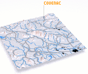 Places with similar names to Coue Nac, Vietnam ::
Disclaimer :: Information on this page comes without warranty of any kind |
||
|
Where is Coue Nac? Elevation and coordinates ::
Latitude (lat): 21°48'0"N Longitude (lon): 105°44'0"E
Elevation (approx.): 92m (map arrows pan, magnifying glasses zoom) |
||
|
Visiting Coue Nac? Hotel/Accommodation ::
Book a hotel in Coue Nac Travel Guide ::
Buy a travel guide for Vietnam rental cars ::
car rental offers GPS waypoint ::
download a GPX waypoint (PoI) of Coue Nac for your GPS receiver
|
||